CRATERS OF THE MOON (Day 2 - part 3)
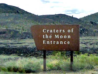
Craters of the Moon National Monument and Preserve was established in 1924 and expanded in 2000. It encompasses three major lava fields which lie along the Great Rift of Idaho. It contains more than 25 volcanic cones and 60 distinct solidified lava flows.
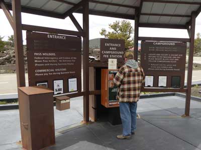
Since the visitor center hadn't opened for the season yet, we checked in via the kiosk.
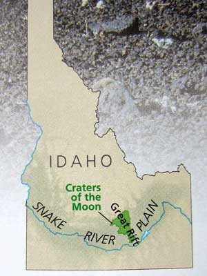
The Snake River Plain is a vast expanse of lava that cuts across southern Idaho from Wyoming to the Oregon border. It was formed by a hot spot, which is a plume of magma (or molten rock) that makes its way up from the core of the earth. When magma erupts on the surface, it's called lava. As the North American Plate drifted southwest, this hot spot stayed put (and now currently sits under Yellowstone).
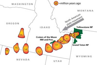
Some 10 to 11 million years ago, that hot spot rested here, at Craters of the Moon. After it passed, the pressure and leftover heat was released through rifting. The largest rift zone (or fault zone) is the Great Rift, a line of weakness in the Earth's crust. The flows range in age from 15,000 to just 2,000 years old. However, these fissures are only considered to be dormant, not extinct. They are expected to erupt again in less than a thousand years.
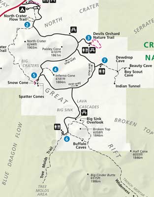
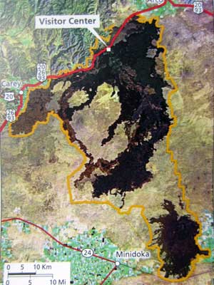
Trail map (click for a larger view) Unfortunately the lava tube caves were all closed, so we decided to just explore some of the shorter trails.

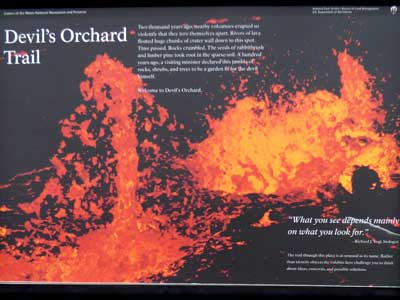
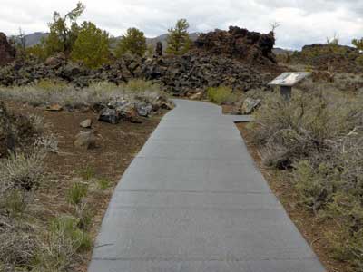
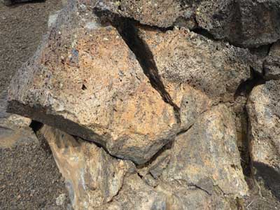
Our first stop was Devil's Orchard Trail. The half mile trail wandered through a maze of jumbled, craggy rocks. 2,000 years ago, nearby volcanoes erupted so violently that they tore themselves apart. Rivers of lava floated huge chucks of crater wall down to this spot. Eventually vegetation took root in the sparse soil. The area was named by a minister who visited the area 100 years ago... saying this garden was fit for the Devil himself.
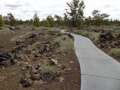
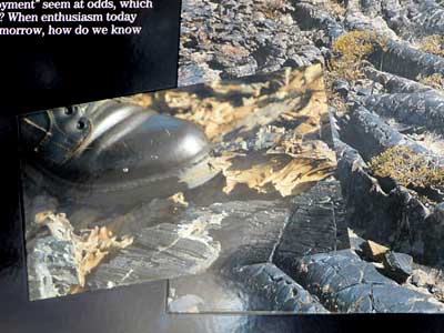
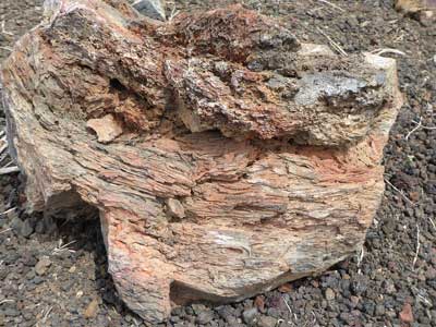
While the volcanic rock is slowly breaking down, weight of visitors walking on it can quickly crush it to obliteration. The normal dark glassy coating gives way to red patches of oxidized rock beneath, indicating damage.
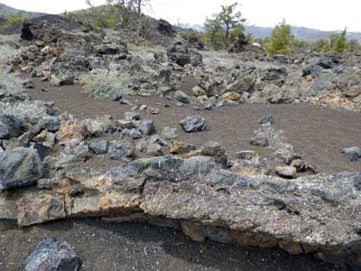
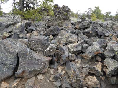
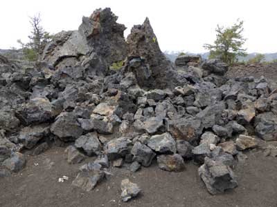
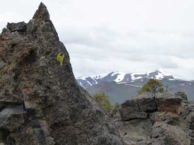
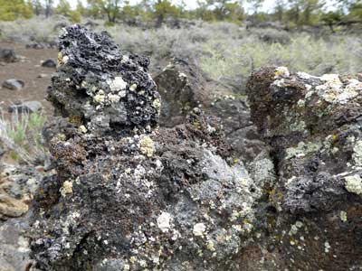
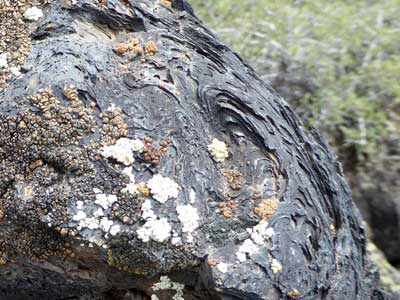
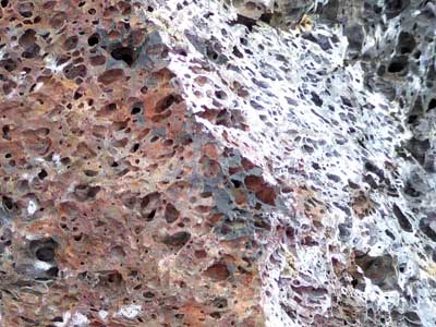
The assorted colors on the rocks are patches of lichen.
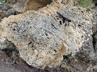
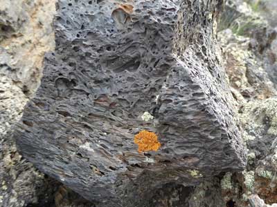
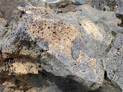
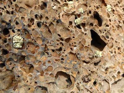
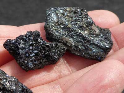
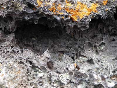
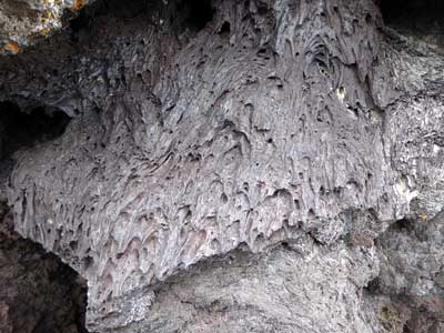
Volcanic rocks often have a vesicular texture (the rock being pitted with many cavities or vesicles). These cavities are caused by gas bubbles having been trapped in the molten lava.
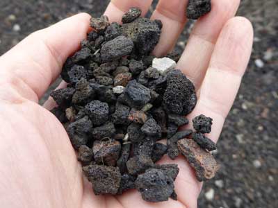
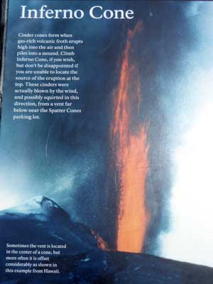
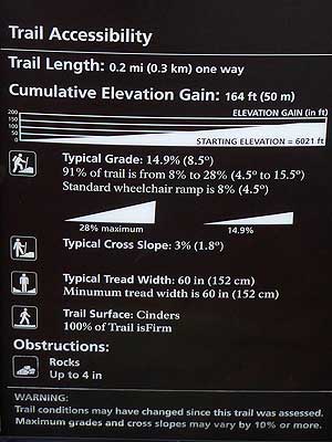
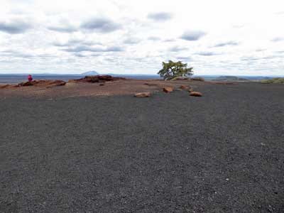
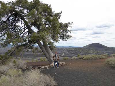
The hike to the top of Inferno Cone was short (.2 miles one way) but steep (with grades ranging from 8% to 28%). Cinder cones are formed when gas-rich lava erupts in a tall fountain hundreds of feet high. As the frothy lava shoots up into the air, it breaks apart and falls to the ground as cinders. It's possible the cinders that created this mound were shot here from a vent far below, near the neighboring parking lot.
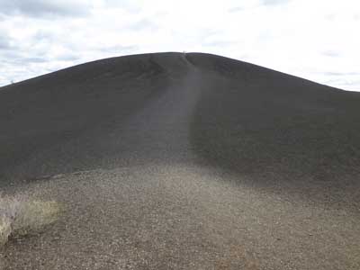
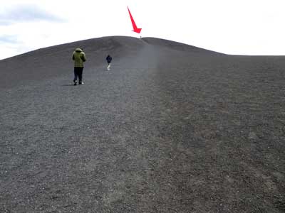
The cinder cone ... with people for scale
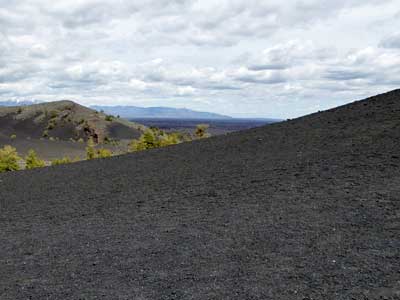

A view from the expansive top
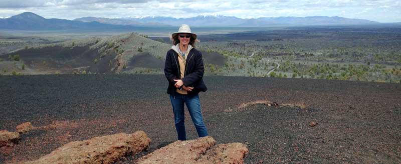
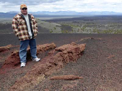
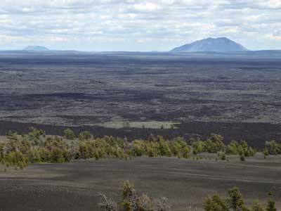

This is the parking lot, near the spatter cones, where the vent that may have created this hill could have been.
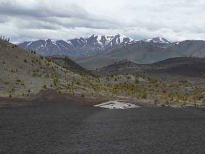

Walking back down the hill to the parking lot
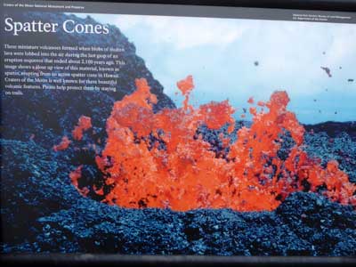
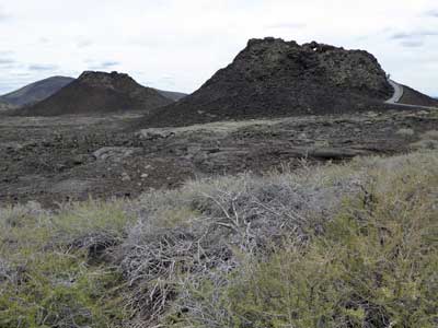
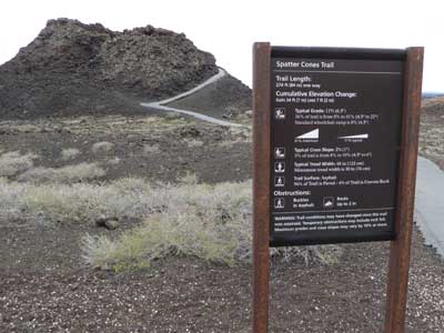
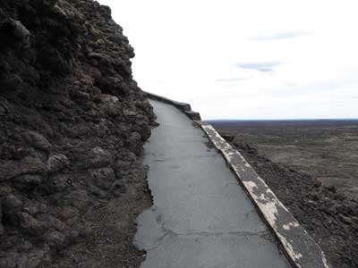
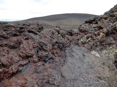
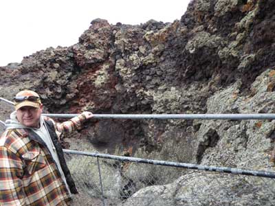
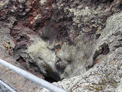
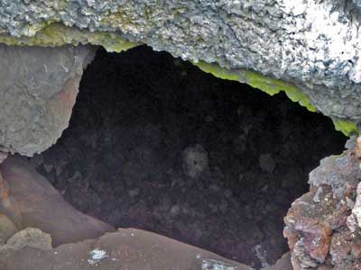
Spatter Cones are miniature volcanoes (rarely more than 50 feet high) that form when blobs of thick and pasty molten lava (or spatter) are lobbed into the air during the final stages of an eruption. These sticky globs pile up to form the cones. These formed about 2,100 years ago.
return • continue