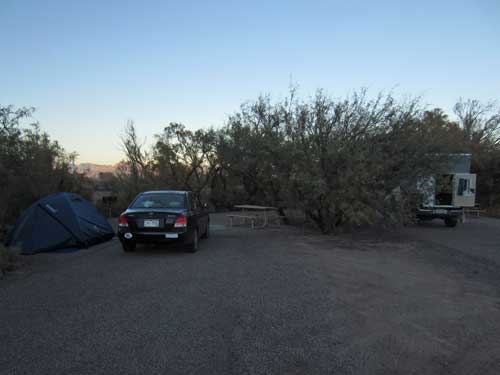
There is evidence to show that this area has been continuously occupied since about 5000 BC by the Hohokam people. The Hohokam culture was differentiated from others in the region in the 1930's by archaeologist Harold S. Gladwin. Huhu-kam was what the the native Tohono O’odham people of the Sonoran desert called them. It means "all used up." In North America, the Hohokam were the only culture to rely on irrigation canals to water their crops since as early as 800. From the 9th to 15th century, they maintained extensive irrigation networks that rivaled those used in ancient Egypt and China. They also grew cotton and tobacco in addition to the usual corn, beans and squash.
Little information is known from the Spanish and Mexican control over the area. There was the mission of San Xavier del Bac as well as some adobe villages that lived under the constant threat of attack by Apaches. In 1853, the Gadsden Purchase was signed which made this region a part of the United States. After US army troops subdued the Apaches, settlers, ranchers and prospectors arrived. The earliest known rancher within this Canada del Oro region (Spanish for Canyon of Gold) was Francisco Romero who established a small a ranch in 1844.
This area remained ranchland until it was sold to developers in 1971, who wish to rezone it in order to build homes for 17,000 people. After much protest, a study was made to determine if the area would meed the criteria for a state park. It did, and in 1974, Catalina State park (named after the Santa Catalina Mountains) was officially created. But it would be another 9 years before it would be open to the public.
We got up early and set out to explore the Romero Ruin Interpretive Trail, a short 1/3-mile path that led to some Hohokam village ruins and the site of the historic ranch.
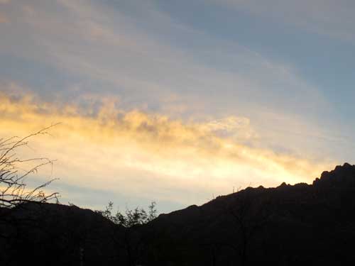
Sunrise
Our first stop was the old Hohokam village, named the Romero Ruins. It's estimated to have been here as early as 550 to 600, but it was extensively occupied between 1000 - 1100 and then abandoned between 1300 - 1450.
Before 1150, Hohokam villages were generally not placed in defensible locations. After this date, however, hilltops, steep slopes and surrounding walls became important elements of many villages. It is estimated that less than 100 people probably lived within the walled village. The village size probably peaked several hundred years before the wall was built, when as many as 300 people may have lived atop this ridge.
The residents traveled the same steep trail we just did. Sometime they had to carry heavy harvests of corn and beans from the floodplain to the village on the ridge above. Water also had be hauled in clay jars several times per day from the now dry stream bed. Other times, it was hunger that made the climb difficult.
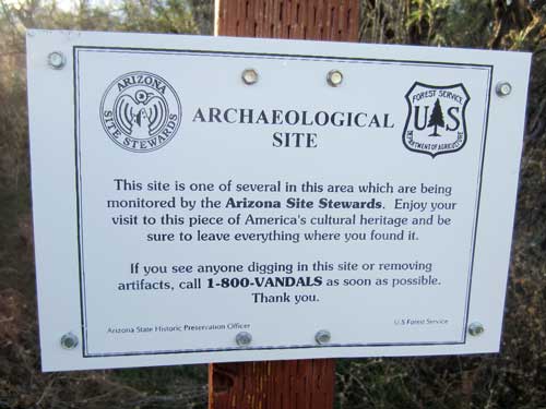
In the early 1900's, it was believed these ruins were connected with the Spanish occupation, and tales of a mission and buried treasure circulated. Research has since shown no evidence of either. But that didn't stop treasure hunters from riddling the area with large holes in search of "the lost mission of Ciru."
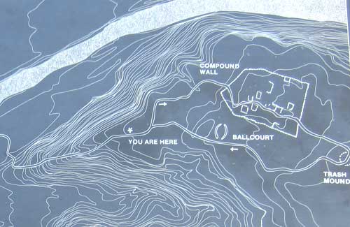
Only a small part of the village has been explored by archaeologists. The trail led us though the walled compound, past the trash mound and eventually back past the ballcourt.
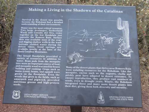
Survival in this desert environment was only possible through understanding of the environment. Water was critical and available both in some surface water (from the stream), some mountain springs and digging shallow wells. Growing crops and desert plants provided enough food.
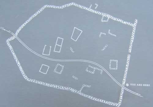
The compound was around 250 feet long and 180 feet wide.
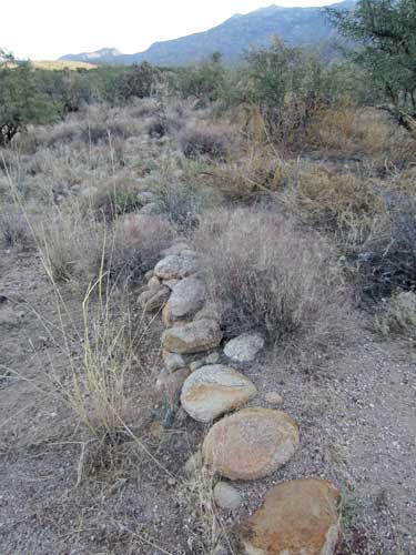
The protective wall was built sometime after 1150. Estimations place it at originally 5-foot tall or more.
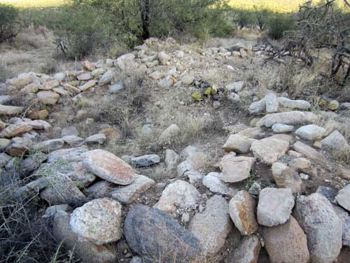
The people lived in small single-room pithouses that had a rock base, wooden posts and framework, and adobe walls.
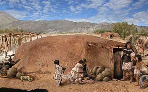
This is what a typical home probably looked like. (illustration credit: Rob Ciaccio)
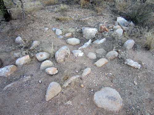
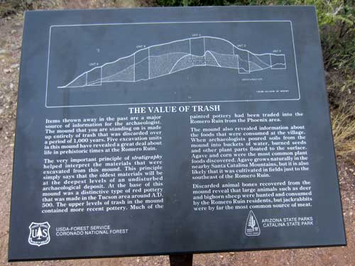
Items thrown away in the past are a major source of information. The trash mound here contains 1,000 years of history. It reveals changes over time in pottery styles, foods that were eaten (seeds, animal bones), items that were used, etc.
Francisco Romero (1822 - 1905) was born at the Tucson Presidio shortly after Mexico became independent from Spain. He was the grandson of a Spanish soldier who had arrived in the 1770's. Eventually he established a small ranch in 1844, slowly acquiring additional properties... including this section here in 1865, with a home built on top of the old village. But by 1870, it is reported that he and his family had left due to constant Apache raids which made the area "unsafe for man or beast." His grandson reported that his grandfather's body was riddled with scars from lance and arrow wounds inflicted by these close encounters.
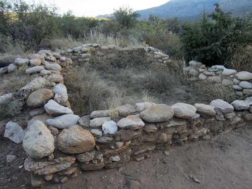
An old photo from 1910 shows the walls were still seven to eight feet high, although the roof was gone. Since that time, erosion and visitors have reduced it to what we see here. He most likely used stones from the Hohokam village to build his house.
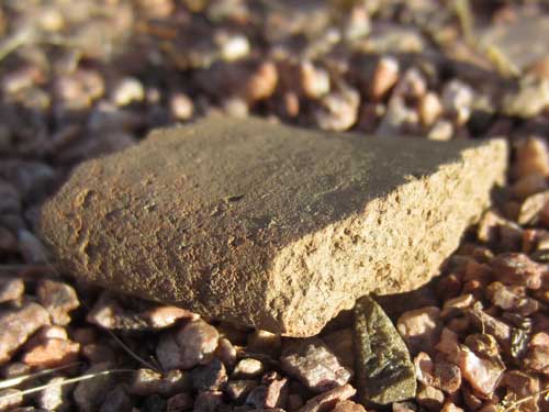
Pieces of possible pottery lay scattered all about.
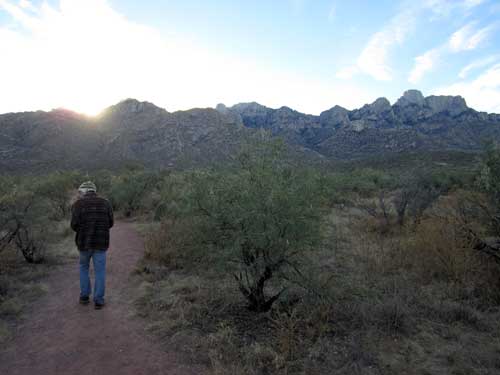
We continued on as the sun began to crest the mountains.
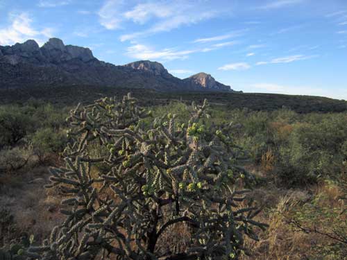
A Jumping Cholla...
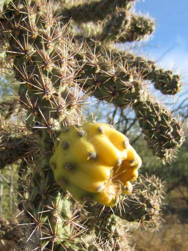
... with fruit...
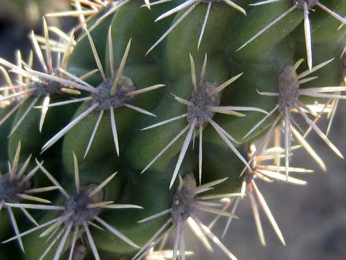
... and sharp spines!
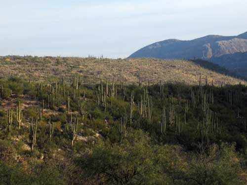
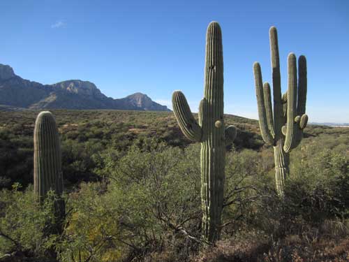
View of saguaros in the distance
Ballcourts were common at all large Hohokam villages. Apparently there are even two here. They are large, oval-shaped depressions surrounded by earthen berms or piled rocks. They range from 60 to 200 feet long (this one is 80 feet long) and the berms can get up to 10 feet or more in height. Most of the ballcourts in this area date from 750 to 1050. Three rubber balls have been found, probably made from the sap of the guayule (pronounced why-yoo-lee), a shrub found in northern Mexico.
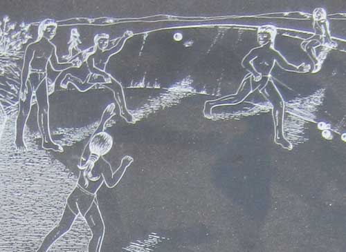
An important role of the ballcourts was to foster cooperation and resolve conflicts within communities. Games with neighboring villages also helped maintain peaceful relations and encouraged trade.
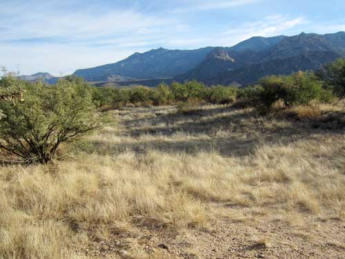
Uh.... this is it? Ok, if you say so.
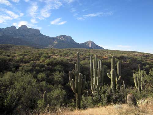
Saguaros
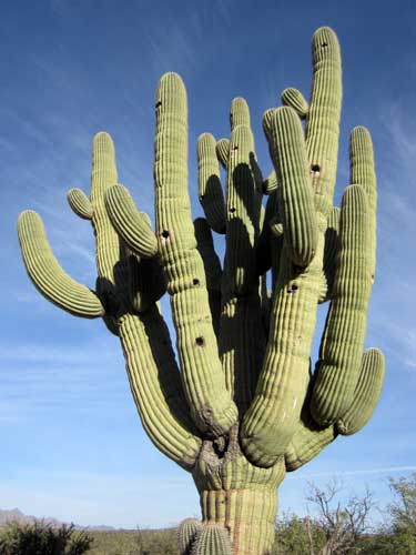
Wow! Look at the size of this one!!
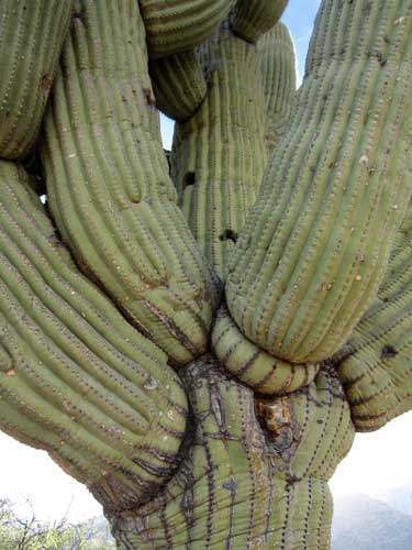
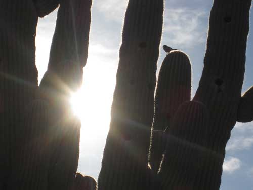
A bird savors the morning rays.
We were lured back into civilization by a movie theater directly across from the state park that was having morning shows for only $5.25. We couldn't resist!
We ran a few errands then decided it was time to perhaps start making our way back. We drove for a couple hours and landed at Roper Lake State Park for the evening. Apparently it had been completely full last night but there were LOTS of free spaces tonight. In spite of that fact, we were assigned a spot directly next to another camper... even though there were a good half dozen spots free on either side of us.
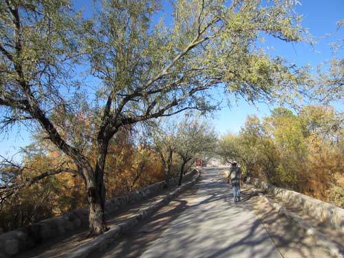
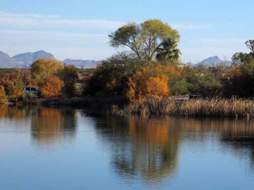
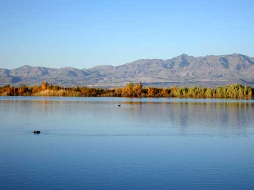
We set up the tent, showered off the dust and heat of the day, then took in some lake views. The evening cooled off quickly.
Back in the 1972, the state wanted to create a water-based recreation facility in the vicinity of Safford. They even set aside a lot of money to build their dream 100-acre lake. Unfortunately, such a construction was determined to be not feasible from either an economic or engineering standpoint. So they settled for the 32-acre Roper Lake. The lake caters to boaters, fishermen, hikers, birdwatchers, swimmers, picnicking and there's even a natural stone hot tub.
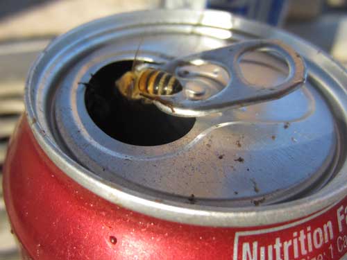
One person's laziness to throw this can away could potentially be a death trap for these sugar-seeking bees.
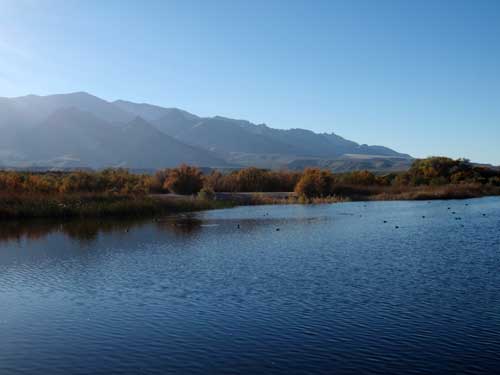
The lake was filled with coots making all sorts of cute noises. We also saw a heron hiding in the dense reeds.
With the continually shortening days of winter, it was dark by 5:30. So we decided to drive into town, grab something to eat and even catch a football game that happened to be on a tv. I can't remember who won... or really who even played!
