WATERFALLS (Day 20)
Today was going to be a 9-hour drive to Caldwell, Idaho... with, naturally, a few lovely stops. Instead of taking the main highway, I took the historic Columbia River Highway, which stretched 75 miles from Troutdale and The Dalles. Modeled after the scenic roads of Europe, it is considered the first planned scenic roadway in the US.
My first stop was the Portland Women's Forum State Scenic Viewpoint... also known as Chanticleer Point Overlook. The Chanticleer Inn, built in 1912, used to sit here until it was destroyed by fire in 1931.
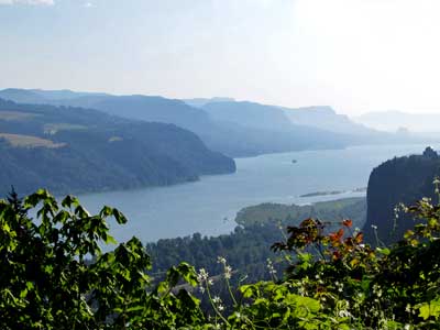
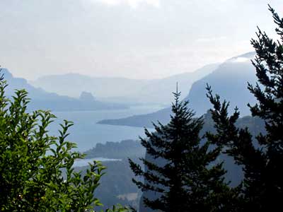
Overlooking the Columbia River Gorge
During the last Ice Age, melting ice dams in Montana released massive floods that scoured this canyon perhaps 100 times. The water was so high, it surged over the canyon top in places. As a result, the Columbia River was able to cut through the layers of stone faster than its smaller tributaries... creating the highest concentration of high waterfalls in North America. There are 77 falls just on the Oregon side of the gorge.
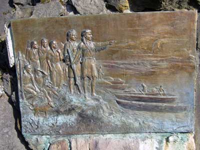
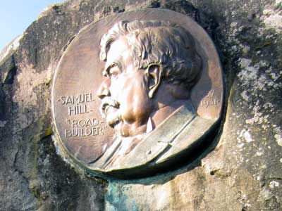
Lewis and Clark explored this river... and Samuel Hill built the highway to enjoy it.
The Columbia River Gorge is the lowest crossing of the Cascade Mountains. Originally, canoes and rafts were the only way though. In 1843, it was still a dangerous part of the Oregon trail until the Barlow Road was opened a few years later that led pioneers around the south side of Mount Hood. A wagon road was finally built through the gorge in the 1870's. It was, however, extremely steep (20% grades) and very narrow. A water-level road was created in 1882, but it wasn't until 1913 - 1922 that Samuel Hill, a wealthy railroad attorney, built the lovely Columbia River Highway.
My next stop was Crown Point and the Vista House museum built in 1918, which was unfortunately closed.
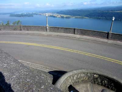
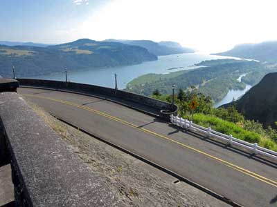
Lovely views
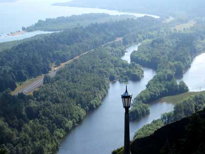
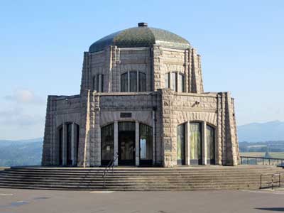
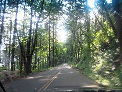
From here, the road began to twist its way down to river level.
The stop at Bridal Veil Falls included a 1/2-mile overlook trail and a 1/3 mile trail to the falls.
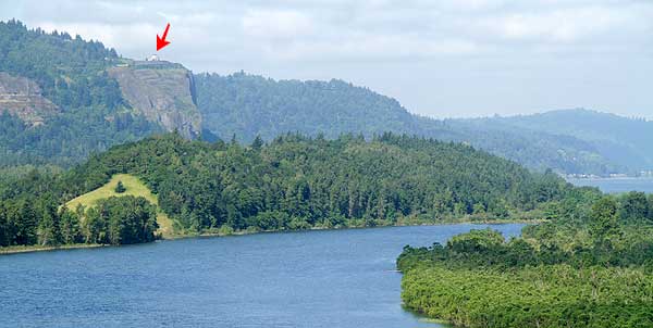
View of Crown Point and the Vista House from the overlook trail. The old Ice Age floods actually got this high.
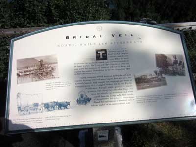
From ox-carts and wagons to steamboats and trains
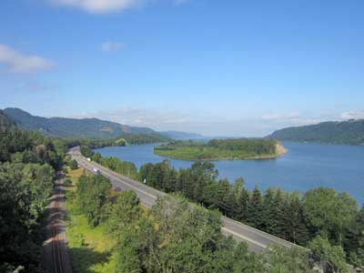
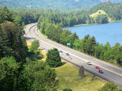
Looking down on Interstate 84 and the railroad
While a marvel in its time, the historic Columbia River Highway eventually became outdated. Speed and efficiency became priority over scenic views. And so, Interstate 84 was built in the 1940's. While much of the old highway still survived, parts of it fell victim as it was merged with the new highway.
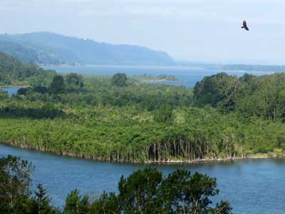
A vulture adds to the majestic beauty.
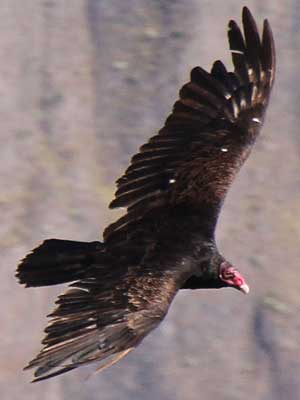
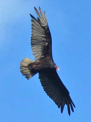
Turkey vultures feed almost exclusively on carrion. They find their food using their keen sense of smell, flying low enough to detect the gases produced by decaying dead animals. Using air thermals, they are able to soar for long periods of time without having to flap their wings.
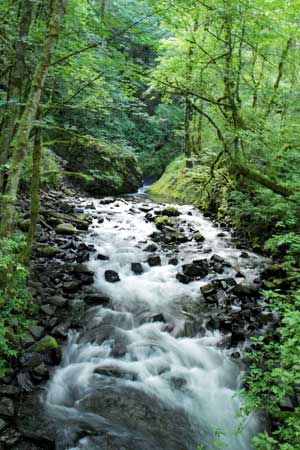
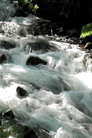
Bridal Veil Creek along the trail to the falls
In the 1880's, this area was the location of large-scale commercial logging and lumbering, with a large mill located at the base of the falls. A wood plume moved the trees from the rough-cut mill here down to a resaw mill at river level, 1,800 feet below. The mill was destroyed by fire in 1937.
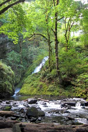
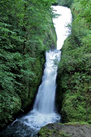
Bridal Veil Falls (so named because it looks like a bride's veil) has a total heigh of 118 feet, with the lower drop being 78 feet.
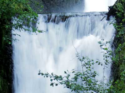
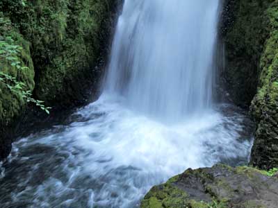
Another stop and a short path to Wahkeena Falls...
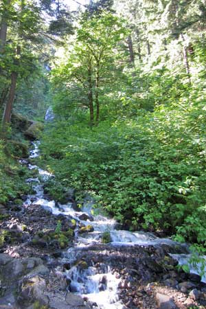
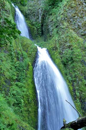
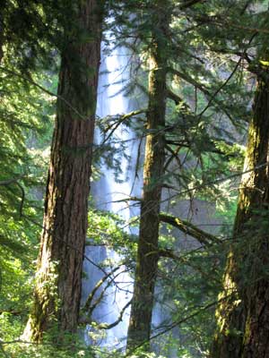
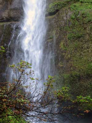
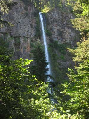
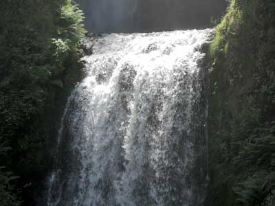
Multnomah Falls is the country's second highest year-round waterfall. A very steep 1-mile trail led to the top of the falls.
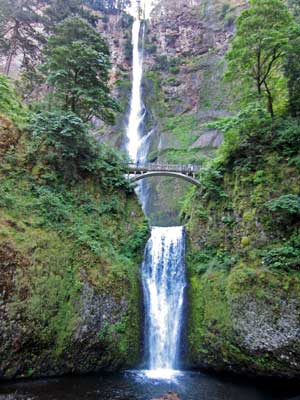

The falls (which was hard to fit in one photo)... and the start of the trail
Multnomah Creek is created by underground springs from Larch Mountain.The upper falls is 543 feet while the lower is 69 feet. The upper falls is actually receding back faster than the lower one due to the type of rock.
The concrete bridge between the two was built in 1914 (after the original one built in the early 1880's from log poles collapsed) and is named for Simon Benson, a strong advocate for protecting the falls.
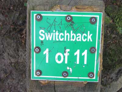
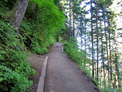
The trail up... note the slope of the hill!
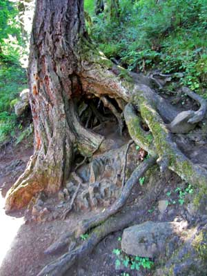
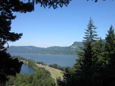
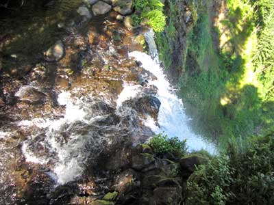
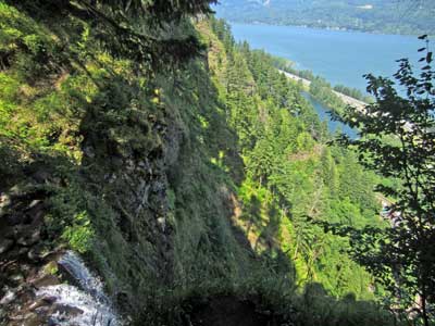
The top of the falls!
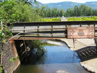
Railroad tracks cross the stream back at the bottom of the falls.
While there was so much more to see, I still had a 5 1/2 hour drive ahead of me.
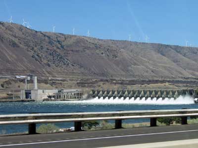
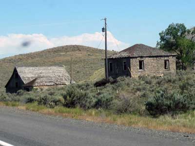
Views along the way of the John Day Dam ... and old sheds
Built from 1958 to 1971, the John Day Dam is the newest dam on the the lower Columbia River. It has fish ladders as well as a lock with the highest lift (110 feet) of any US lock.
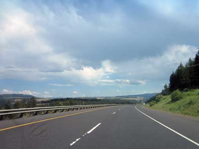
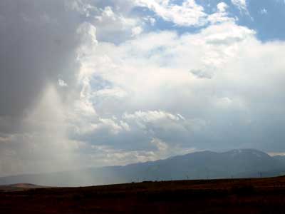
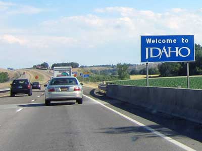
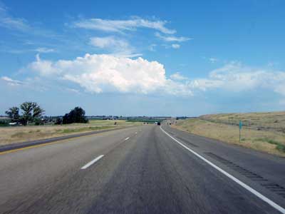
Entering Idaho
I arrived in Caldwell in the early evening. My hosts for the night were Donna (the mother of a friend) and her energetic Shitzu named Pai gow.
return • continue

