CANADA (Day 10)
Rain again! But that didn't stop us from taking a short walk down Haynes Point, a narrow peninsula that juts out into the southern part of Osoyoos Lake. It was named after John Carmichael Haynes (1831 - 1888), an Irishman who arrived here in 1858 and who served as a police officer, customs officer and county court judge.
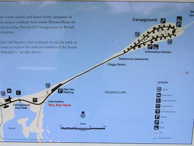
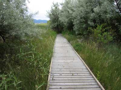
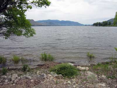
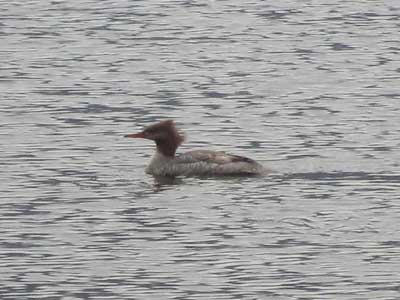
The rain didn't prevent the birds from being out... including this female Common Merganser.
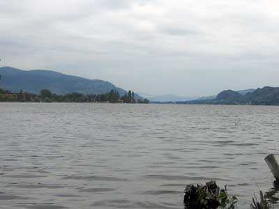
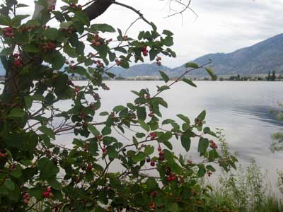
We then visited the Nk'Mip Desert Culture Centre. Nk’Mip (pronounced In-ka-meep) is the Okanagan name that roughly translates to "flat bottom land at the mouth of the creek." The interpretive center is situated on the edge one of the most endangered ecosystems in Canada, the northernmost point of the Great American Desert which extends southward to the Sonoran Desert in Mexico.
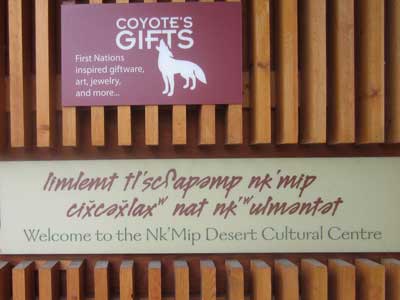

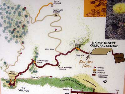
A map of the trails
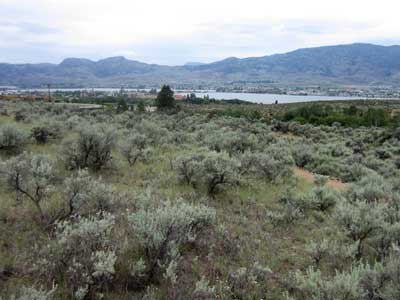
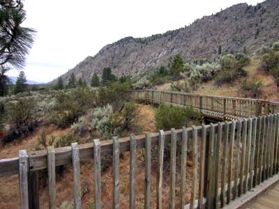
Looking out toward Osoyoos Lake. In the past, there were no boundaries between Okanagan communities. Families could move freely around the Syilx territory and they shared a common language and culture. When the reservations were established, the government divided them up and designated different band names.
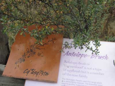
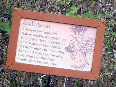
The Okanagan people depended on nature for their livelihood. Of the over 260 plants known to them, at least 130 were used for food and medicinal purposes.
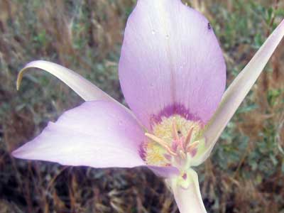
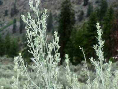
Sego Lily ... and Big Sagebrush
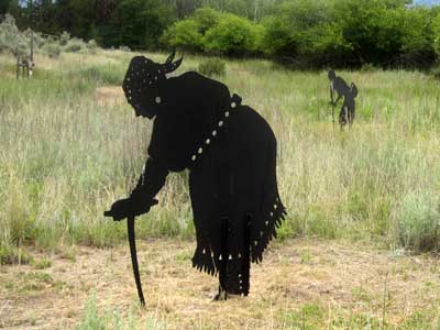
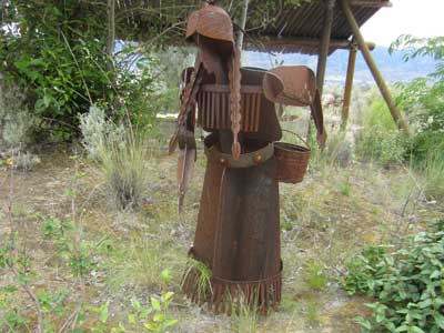
Digging for roots ... and gathering berries
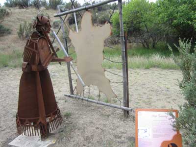
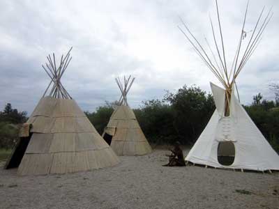
Tanning a deer hide for clothing... A typical Okanagan village from 200 years ago
Traditionally they followed a seasonal pattern of movement between lakes, sage grasslands and rugged mountains. By the mid-1800's, most of the native people had begun to ranch or farm. The summer homes were portable. Winter camps were more permanent structures.
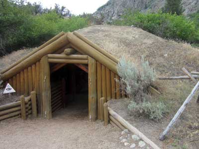
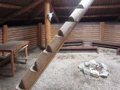
A winter home... and inside
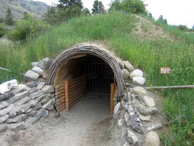
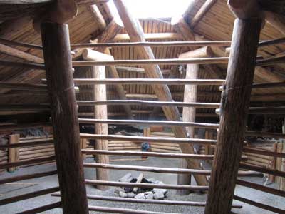
Another style
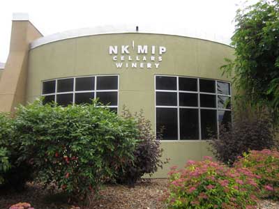
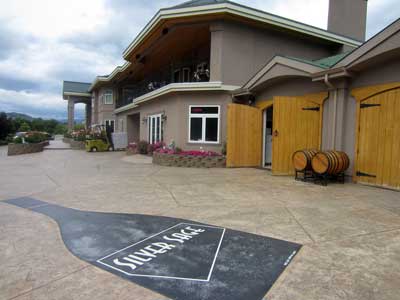
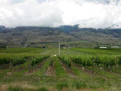
We enjoyed several more wineries... Nk'Mip Cellars (North America's first native owned and operated winery), Adega Estate Winery, Oliver Twist Winery and Silver Sage Winery.
return • continue

