MAMMOTH SPRINGS (Day 5 - part 2)
I then went to the lower level trail.
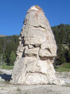
At a height of 45 feet, Liberty Cap received its name from the 1871 Hayden Expedition for its resemblance to the caps worn by colonial patriots in the Revolutionary War. The cone grew from a steady, narrow flow of hot water, which deposited dense layers of travertine. It is now inactive.
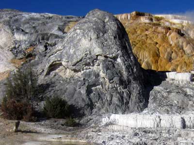
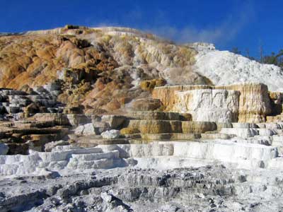
Devil's Thumb... and Palette Springs
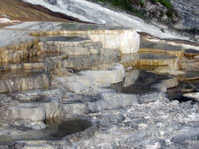
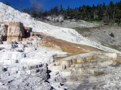
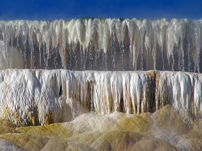
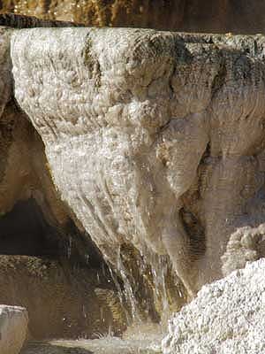
The flowing water that keeps these formations growing
Just down the street a ways was Fort Yellowstone. After quickly browsing the museum, I sat on a bench near the old drill field and had a bit to eat.
The fort was built between 1891 and 1913 to serve as a US army headquarters. They helped take care of Yellowstone National Park until the National Park Service was created in 1916. Unlike most Western military posts that were comprised of temporary structures and not intended to last more than a few years (or months, in some cases), Yellowstone was meant to be permanent. It was also not designed like the old barricaded forts but rather a quaint little town.
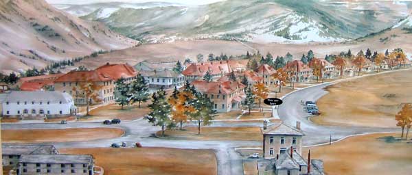
A drawing of the fort in its heyday
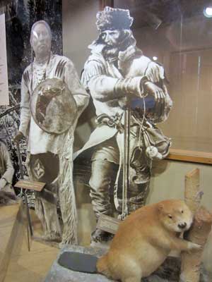
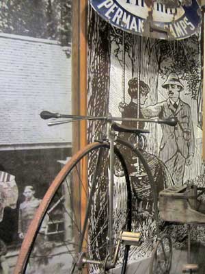
From fur trappers... to tourists
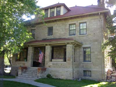
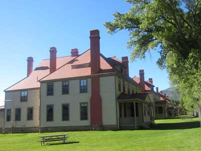
Many of the old buildings still stand.
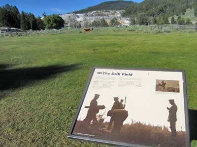
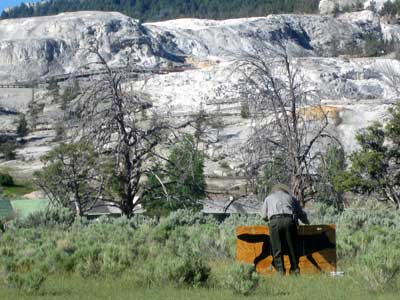
The drill field was the location for ceremonies, parades, horse drills and other training. ... A ranger sets up a target of a wolf.
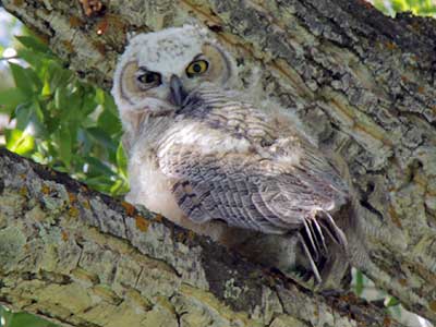
A young Great Horned Owl gives me a glare from above.
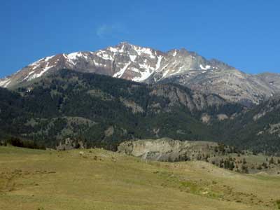
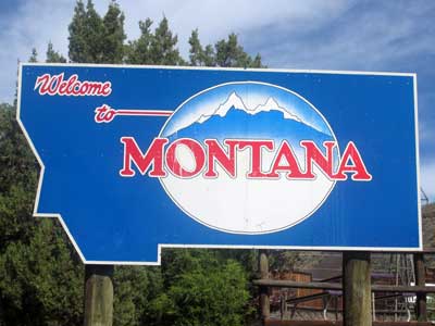
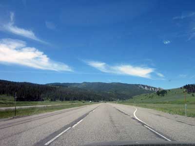
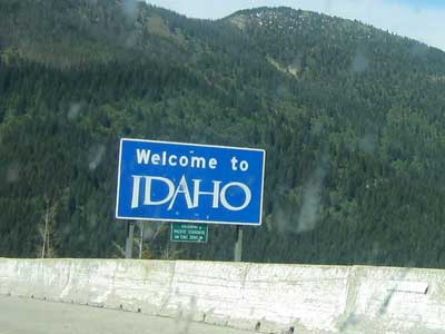
I then drove 7 1/2 hours... across sections of Montana and Idaho, into Washington, through the evening congestion around Spokane, and up to the small community of Chatteroy.
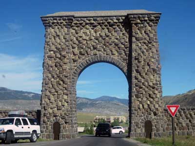
The north gate of the park
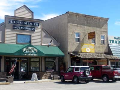
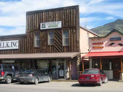
The cute little town of Gardenir
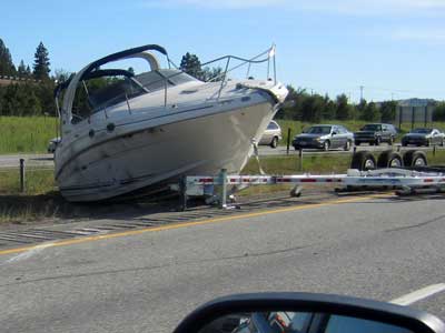
Part of the reason for all the traffic
I got a little bit lost but eventually found Steve and Jeff's place. They were couchsurfers who had agreed to put me up for the night. They treated me like royalty... with cheese and crackers and wine, then a delicious homemade meal of rice and curried vegetables! Their kids were also excellent hosts, and their dogs, Lily and Tuesday, seemed to enjoy the extra attention.
return • continue

