YELLOWSTONE (Day 4 - part 4)
I then drove out to the West Thumb Geyser Basin, located next to Yellowstone Lake. The shore is lined with hot springs, mud pots and geysers. Two loops run 1/4 mile and a 1/2 mile.
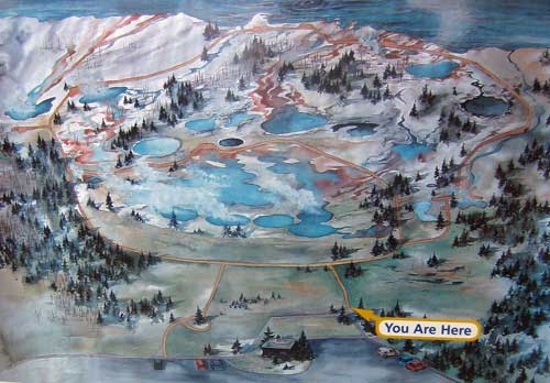
A map of the basin
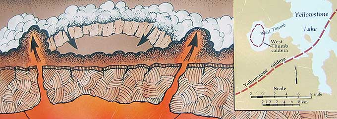
About 150,000 years ago, a volcanic explosion formed this small caldera (so a crater within the bigger Yellowstone caldera).
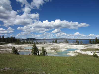
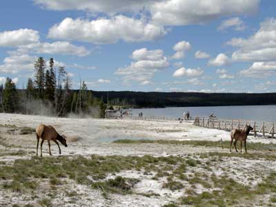
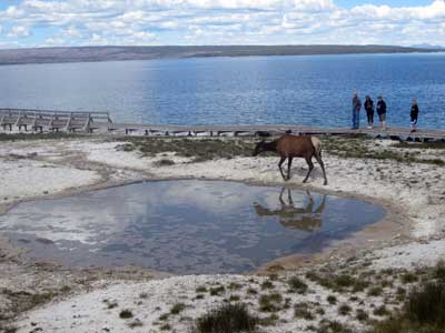
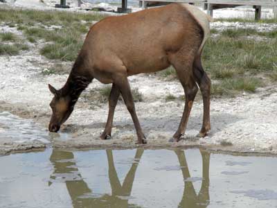
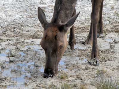
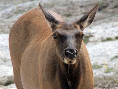
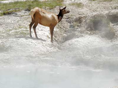
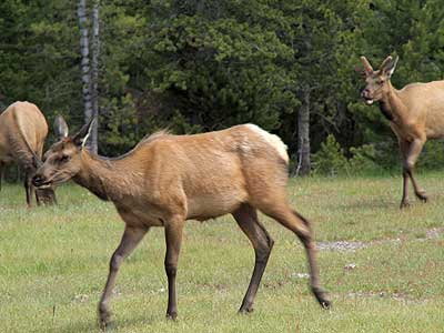
A small herd of elk grazed among the bubbling pools and steam vents.
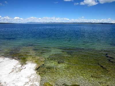
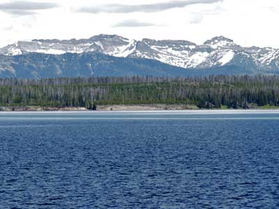
Yellowstone Lake... with the Absaroka Mountains in the background
Yellowstone Lake is the largest freshwater lake above 7,000 feet in North America. It covers 136 square miles with 110 miles of shoreline and has an average depth of 139 feet (with a greatest depth of 390 feet). The Absaroka Mountains stretches about 150 miles across the Montana-Wyoming border and form the eastern boundary of Yellowstone National Park.
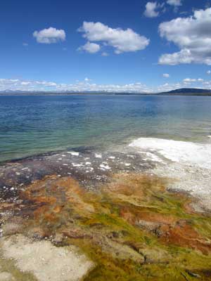
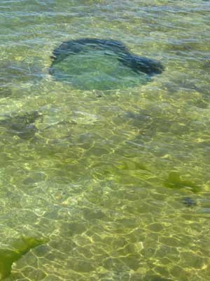
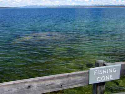
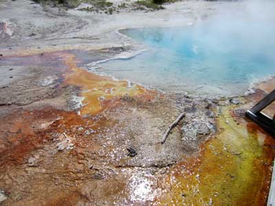
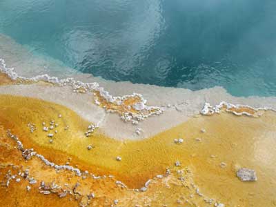
Incredible colors and underwater springs
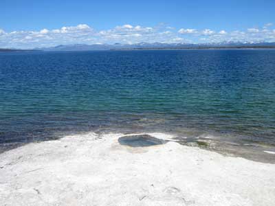
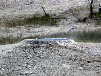
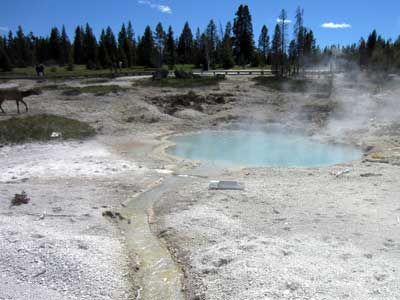
Inland springs... including Lakeside Spring
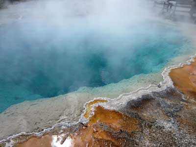
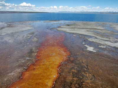
The incredible colors and textures of Black Pool... as it runs down to the lake
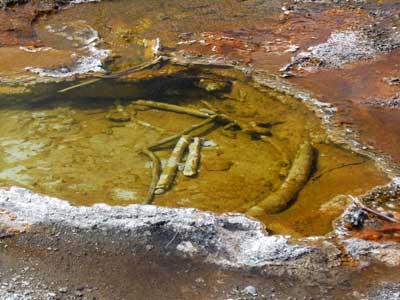
Sticks... and... wait, are those bones?
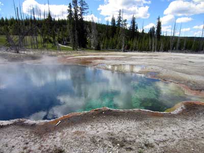
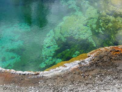
Abyss Pool
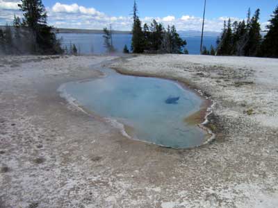
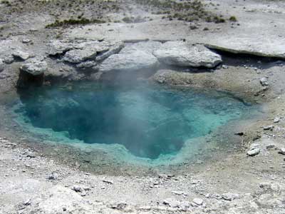
Perforated Pool... and Collapsing Pool
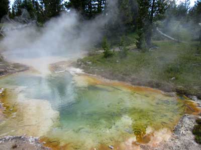
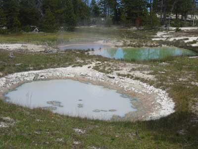
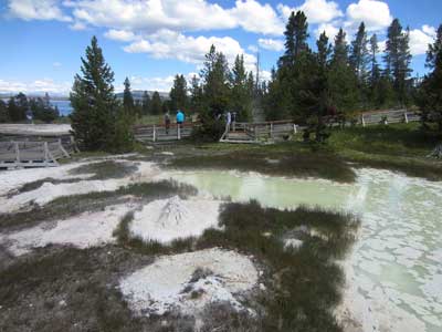
Thumb Paint Pots... and heading back
The Mud Volcano area was a 1/2 mile loop laced with strong sulphur smells.
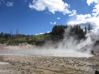
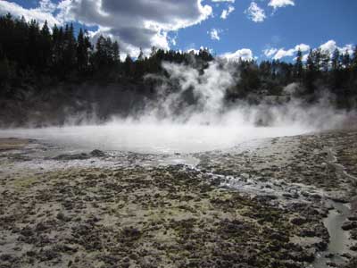
The Mud Caldron
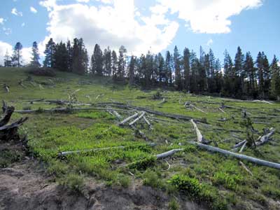
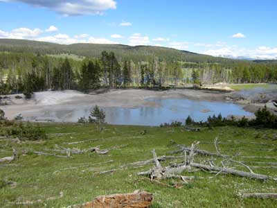
Cooking Hillside... and a view down to Mud Geyser
Known as the Cooking Hillside, this was once a densely forested area. Then in 1978, a series of earthquakes struck, causing the ground temperatures to rise to 200 degrees F. Roots sizzled and trees toppled.
Mud Geyser used to not be visible from here when the forest still stood. In the late 1800's, it used to erupt every few hours. But by 1927, the eruptions had stopped. Since the earthquakes that destroyed the trees, the geyser has has begun to steam and large craters opened up, swallowing some of the logs that had fallen into it. Perhaps someday it may even start to erupt again.
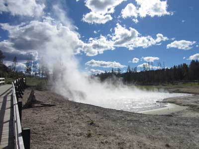
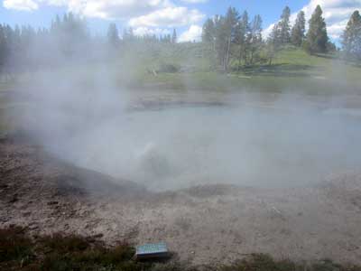
Sizzling Basin... and Churning Caldron
Churning Caldron is scalding hot but not boiling. Gases rising to the surface from vents merely make appear so.
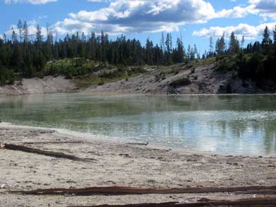
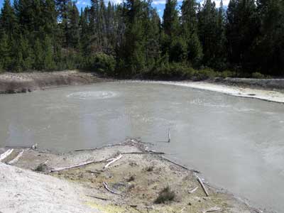
Sour Lake... and Black Dragon's Caldron
Black Dragon's Caldron came into existence in 1948, blowing trees out by the roots. For decades it erupted explosive bursts of black mud. Over the years, it moved 200 feet southeast and has settled down.
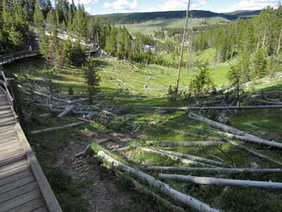
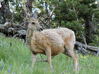
Walking back down the devastated hillside ... although this deer (with her shedding winter coat) thinks its just fine!
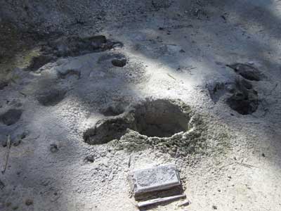
The Grizzly Fumeroles reflect recent weather conditions... venting steam when dry and bubbling mud after rain or snow.
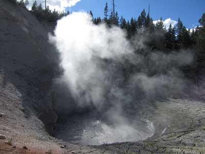
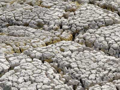
In 1870, Mud Volcano blew mud high into the treetops. Two years later, it was just a pool of bubbling muddy water. It had literally blown itself apart.
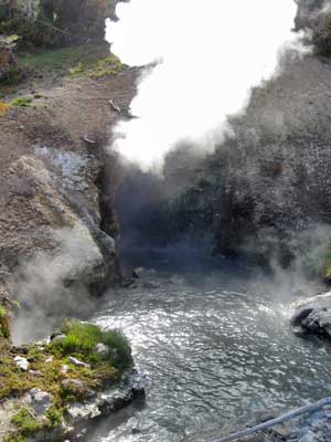
The rumbling sounds of Dragon's Mouth Spring are caused by steam and other gasses exploding through the water, causing it to splash against the walls of the hidden caverns.
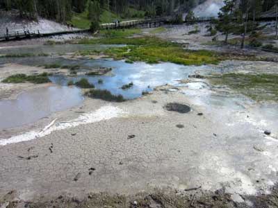
A small overlook allows for a view down at Sulfur Caldron.
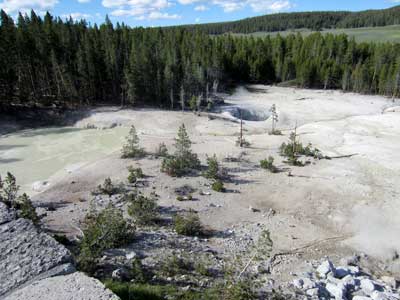
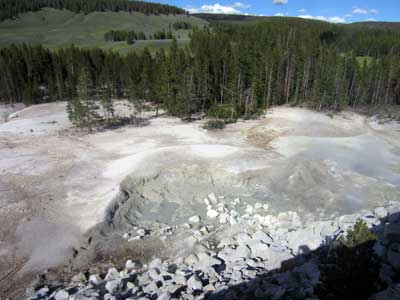
The hill in the background (Sour Creek dome) is being slowly pushed up by underground magma.
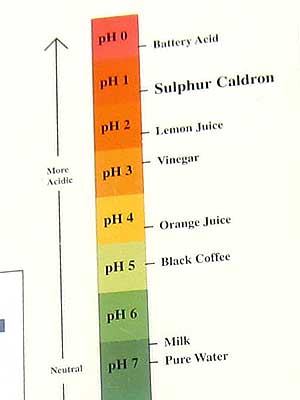
This basin is 10 times more acidic than lemon juice. Thermoacidophiles (microorganisms that thrive in a hot and acidic environment) love it!
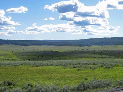
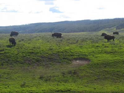
On the drive back to my campsite, I passed by a hill covered with peacefully grazing bison.
return • continue

