YELLOWSTONE (Day 3 - part 1)
I got up early and packed up the tent.
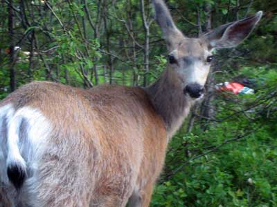
A morning campground friend... a curious mule deer
I then began a leisurely drive up to south entrance of Yellowstone, which offered many spectacular views of the 15-mile-long Jackson Lake.

Click for a larger view
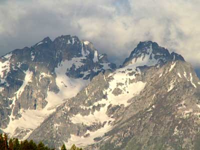

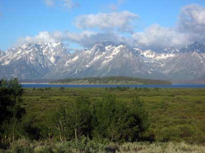
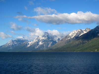
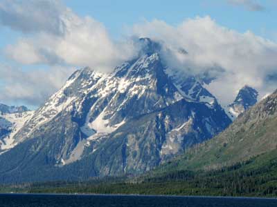
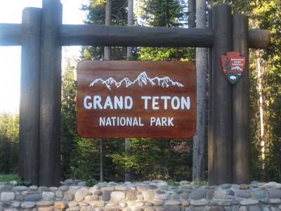
I left Grand Teton and followed the John D. Rockefeller Jr. Memorial Parkway into Yellowstone National Park.
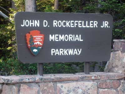
The parkway, originally part of the national forest system, serves as a transitional zone between the two parks. The 24,000-acre parcel of land was established in 1972.
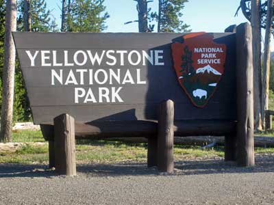
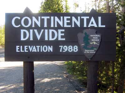
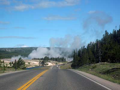
The first hints of Yellowstone!
Created in 1872, Yellowstone National Park was the first national park ever established. It is known for its wildlife and many geothermal features.
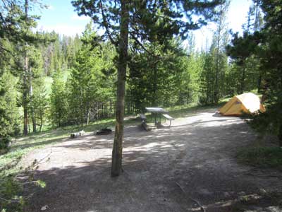
I arrived at Norris campground and set up the tent.
I drove up to Canyon Village and stopped at the visitor center.
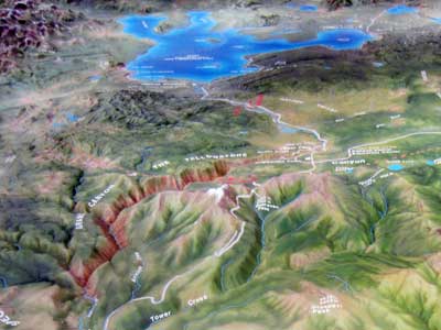
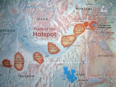
A relief map showing the Canyon Village area (with Yellowstone Lake in the background) ... and a hotspot map (click for a larger view)
Yellowstone is located on top of a moving 'hotspot.' Nearly 17 million years ago, hotspot volcanic activity began in Nevada. As the North American plate slowly moved, a 500-mile long chain of volcanoes was created across southern Idaho and into Wyoming. This volcanic activity has been under the Yellowstone area for about 2.1 million years.
There was a lot to explore so I decided to divide it up into two sections. Today I would do the canyon (from the Canyon Village area) and tomorrow I would do the geothermal areas via a large loop road.
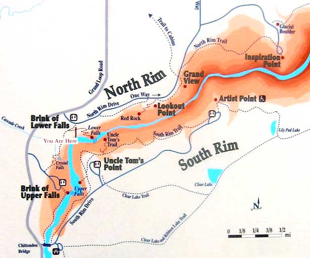
A map of the North Rim and South Rim roads
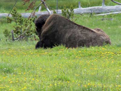
A slumbering bison near the side of the road
I began with the North Rim Drive. Stop #1: Brink of Lower Falls. I took the long trail down to a platform perched at the top of Lower Falls.
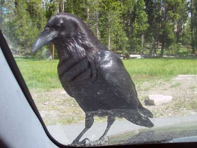
In the parking lot, a raven hopped onto the hood of my car and stared in at me through the windshield looking for food.
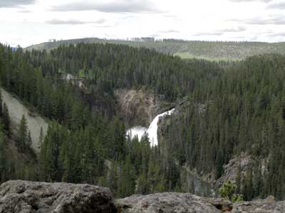
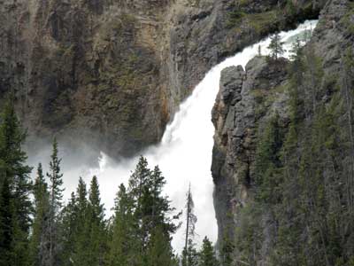
A view from the trail, upstream toward Upper Falls
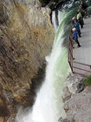
The platform on the brink of the Lower Falls
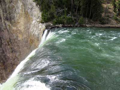
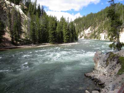
Looking upstream...
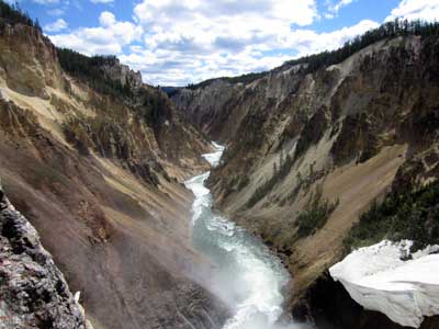
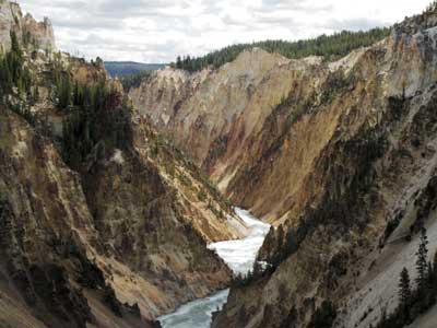
... and down the canyon following the Yellowstone River. The chunk of white in the corner is a large snow shelf that has yet to melt.
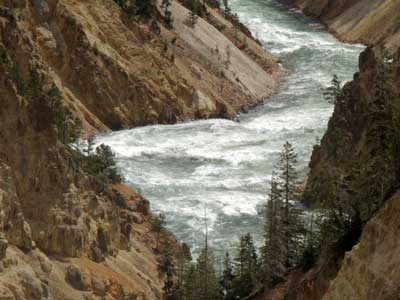
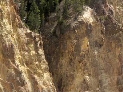
It was obvious how it got its name! The stone was indeed quite yellow.
I then followed a short trail upriver toward Crystal Falls.
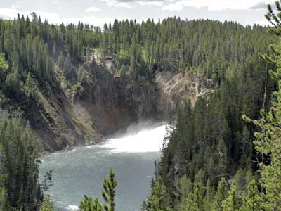
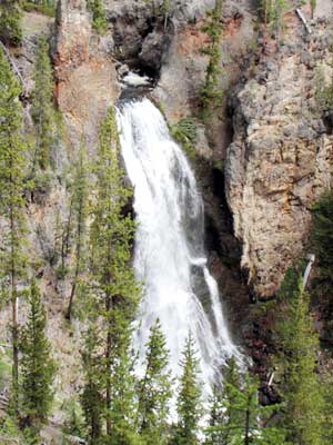
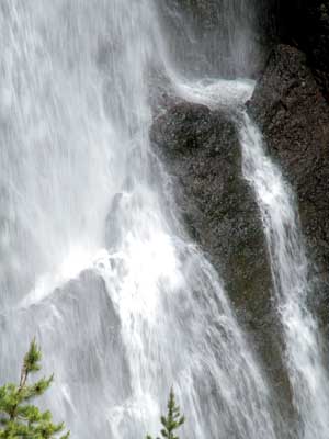
Crystal Falls
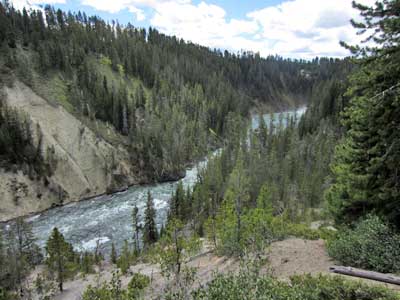
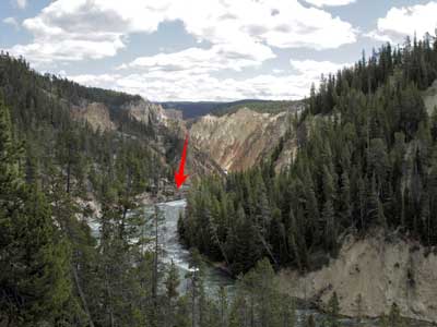
Looking up the river (the mist of Upper Falls can be seen at the very end)... and downstream to the platform I had just been on
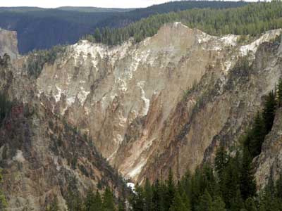
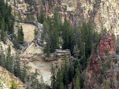
A further look down the valley ... and at the Red Rock Trail (my next stop)
Stop #2: Lookout Point. This included a top viewpoint and a lower one at the end of Red Rock Trail
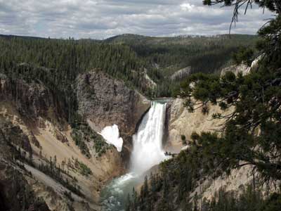
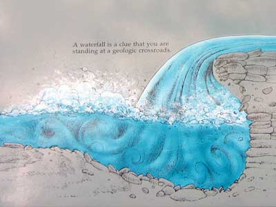
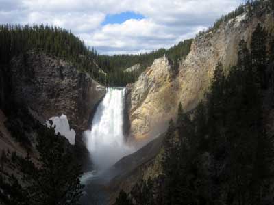
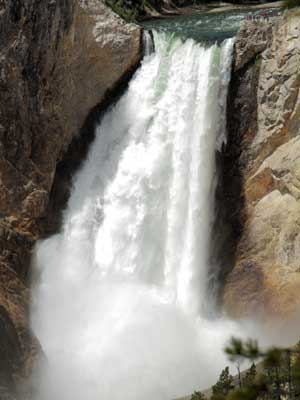
The river plunges 308 feet over the Lower Falls. Hot springs have softened the rock, allowing the falling water to pound it away below.
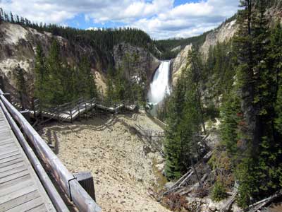
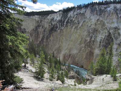
Heading down the wooden walkway of Red Rock Trail
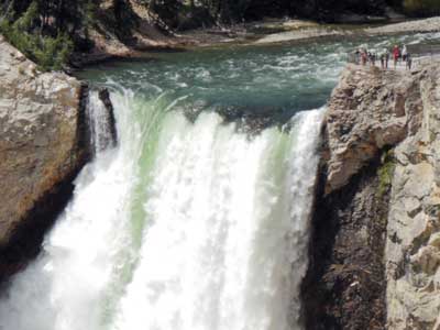
The Lower Falls ... with the brink overlook
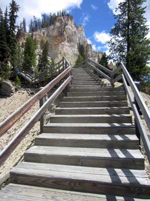
Heading back up
return • continue