DRIVE (Day 1 - part 2)
The highway eventually led us to the San Rafael Swell. I am absolutely fascinated by this area each and every time I get the privilege to pass this way!
For centuries, the San Rafael Swell was called the San Rafael Reef, a 75-mile-long and 40-mile-wide wall of sandstone, limestone and shale. This geological fold formed a huge problem for the early explorer and settlers who were crossing the plains. Since many had had sailing experience, they called it a 'reef' which is often a barrier while sailing. The only way through was via narrow slot canyons.
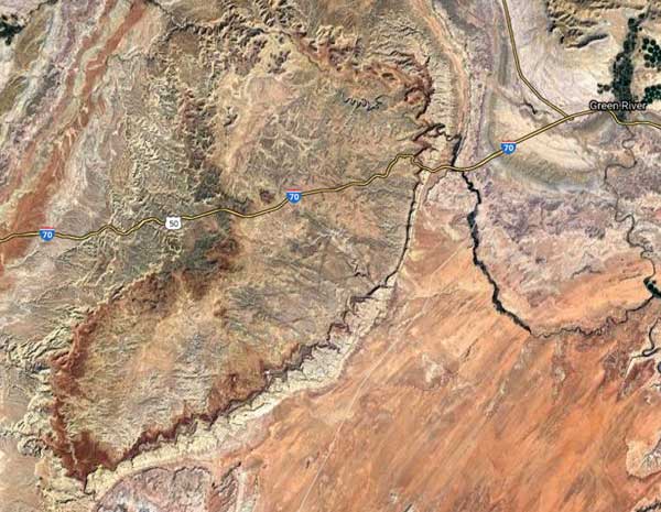
An aerial view of the reef
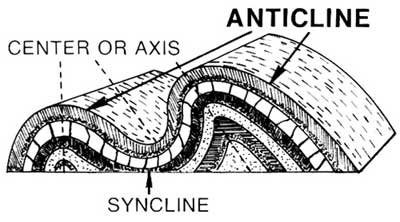
The swell is what's called an anticline, which is essentially a giant dome of rock layers that have been pushed up, in this case some 60 - 40 million years ago. Erosion has erased the top of the dome, while flash floods have carved numerous canyons, gorges, mesas and buttes.

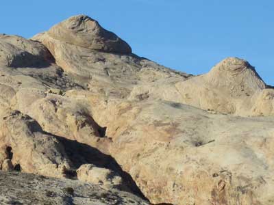
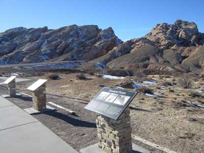
In 1957, Congress decided to increase the nation's interstate highway system. Originally, workers could stand in the canyon and touch both walls. Crews excavated 3.5 million cubic yards of rock and lay down eight miles of road through the swell. It opened in 1970. Two more lanes were added in the mid-80s.
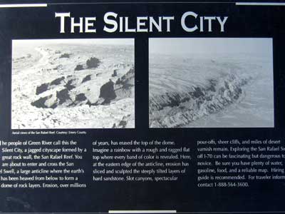
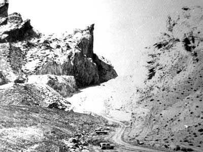
The miles and miles of barrier .... Starting to build the road through
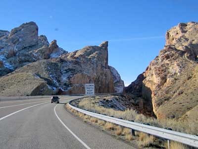
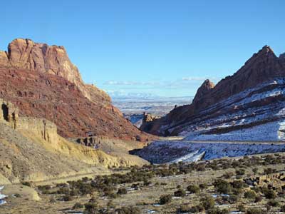
Heading up into the swell... and looking back down at it
We pulled off into the Black Dragon View Area. We were now perched on the highest point of the swell. Even though we had gone up a thousand feet of elevation, we were standing on rocks that were 50 million years older.

In the far distance to the right, is the dip in the rocks that is the highway.
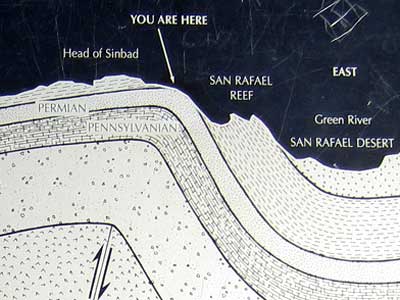
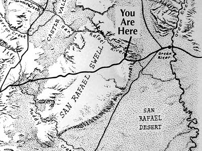
Click each image for a larger view
We continued our drive west.
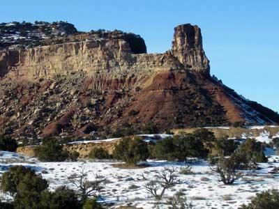
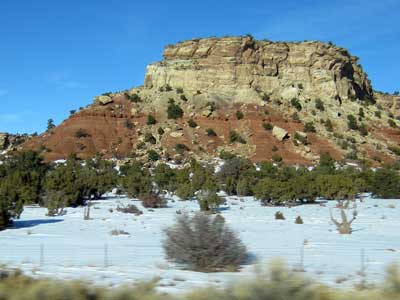

The Ghost Rock View Area was our next stop. The cliffs and canyons here are carved from the 190 million-year-old Navajo Sandstone formation. These used to be sand dunes hundreds of feet high. Over the eons, the sand was pressed into stone. This is near the center of the anticline, near the top of where the dome used to be.
This was a popular hideout area for outlaws such as Butch Cassidy. The northernmost point of the Spanish Trail also passed through this way. The trail was forged by Spanish explores in about 1800 and was later used by slave traders. Native Americans were sold for as much as $200 each in Mexico City.
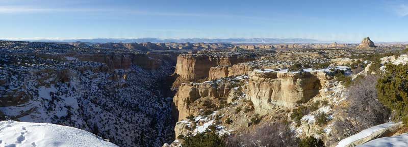
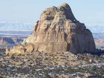
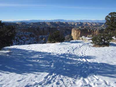
The following stop was Eagle Canyon View Area. We were now on a limestone layer of the Carmel formation, which formed in an ancient inland sea. This was the sea that covered the giant sand dunes and turned them into stone.
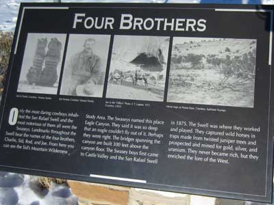
Only the most daring cowboys lived in this area, among them the Swasey brothers (Charlie, Sid, Rod and Joe), who arrived here in 1875. They named this place Eagle Canyon, because it was so deep that they said even an eagle couldn't fly out of it. They captured wild horses, as well as mined for gold and silver.

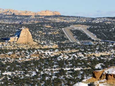
The highway continued on, carrying us past more amazing formations.

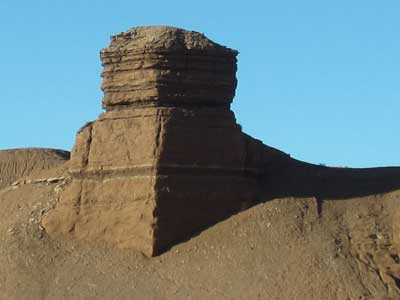
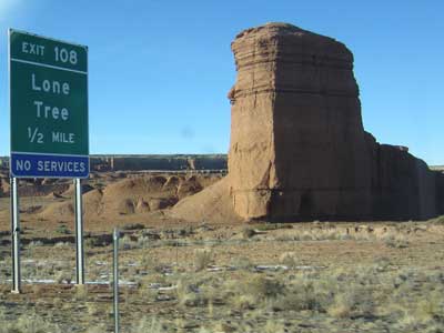

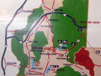
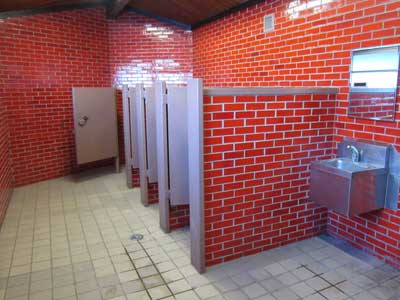
A rest stop .... with extremely short bathroom stalls that didn't offer much privacy!
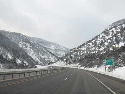
Winter finds us again outside of Salina.
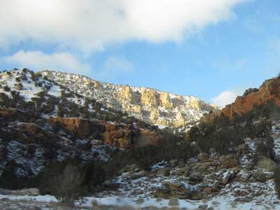
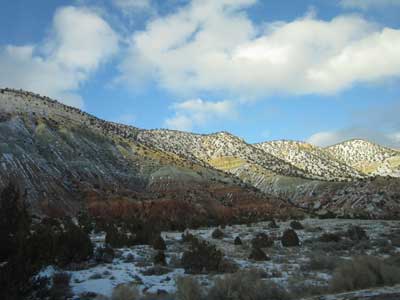
Spectacular hills!
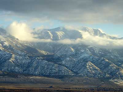
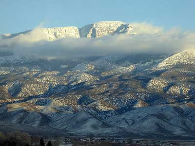
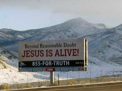
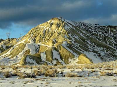
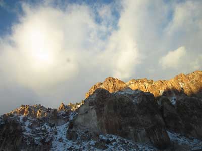
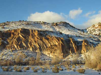
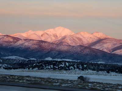
We arrived at the hotel in Cedar City (Utah) a bit before 7 pm. It was QUITE cold out.
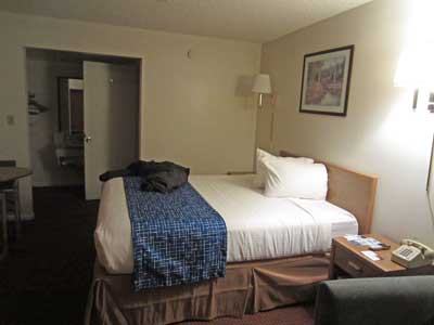

The hotel doesn't seem to care if there's a fire.
We braved the frigid weather and went out to grab some dinner.
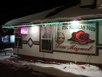
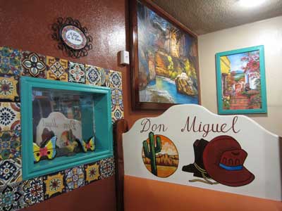
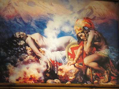
The place was cutely decorated .... including a painting (found in almost every Mexican restaurant) of Iztaccíhuatl and Popocatépetl.
Iztaccíhuatl (or Izta) was the beautiful daughter of an Aztec chief. She fell in love with Popocatépetl (or Popoca). In order to marry his daughter, the chief told Popoca to bring him the head of an enemy chief. Popoca set out. After several months, the enemy sent back a false message that he had been killed in battle. Grief stricken by the news, Izta stopped eating and died from grief.
When Popoca returned victorious, he saw his dead beloved and could not be consoled. He carried her to the mountains then plunged a dagger in his broken heart. The gods turned them into mountains and covered them with snow, where they remain today.
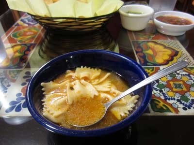
Absolutely scrumptious pasta soup!
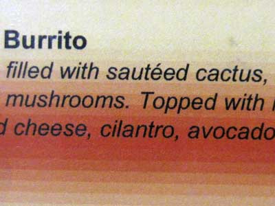
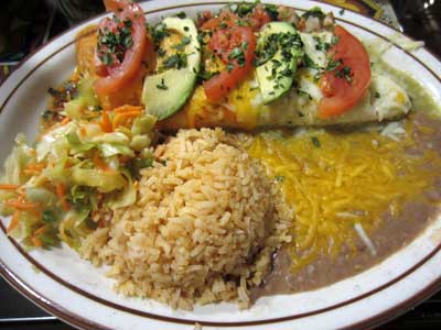
Cactus burrito
return • continue

