LASSEN (Day 5 - part 2)
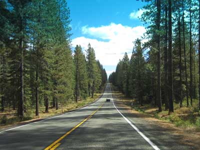
Back on the highway, we continued west then south into Lassen Volcanic National Park. The weather was fine. They were, however, expecting snow tomorrow though... or at the very least, rain.
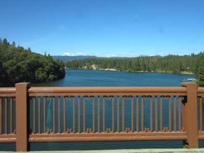
(right) A bridge over Lake Britton
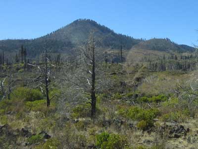
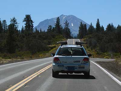
Lassen Volcanic National Park is named after a Danish blacksmith and local guide, Peter Lassen (1800 - 1859), who had settled here in the 1830s. The area is still active with boiling mud pots, steaming sulfur vents and hot springs. It is also one of the few plaes on the planet where all four types of volcano can be found: a plug dome (the 10,457-foot Lassen Peak, the world's largest plug dome volcano and the southernmost non-extinct volcano in the Cascade Range), four shield volcanos, small cinder cones, and a stratovolcano.
Sometime during the Pleistocene (or last Ice Age), Mount Tehama (also known as Brokeoff Volcano) rose as a stratovolcano. It was built of layers of lavas and tephra (volcanic ash and pumice) to a height of probably 11,000 feet and 15 miles wide at its base. Then some 350,000 years ago, it had a series of eruptions that partially emptied its magma chamber and it collapsed into itself (just like with Crater Lake), forming a 2-mile wide caldera. About 27,000 years ago, Lassen Peak started to form, erupting its way through Tehama's destroyed northeastern side. It shattered the overlaying rock and reached its present height in as little as a few years. Since then, smaller domes formed, the largest of these being Chaos Cragss.
The park started out as two separate monuments in 1907: Cinder Cone National Monument and Lassen Peak National Monument. But from 1914 through 1921, a series of eruptions occurred, creating lots of lava, ash and even a new crater. To keep people safe, the entire area was protected as a national park in 1916.
The 29-mile Main Park Road was built between 1925 and 1931. Near Lassen Peak, it reaches 8,512 feet in elevation, making it the highest road in the Cascade Mountains.
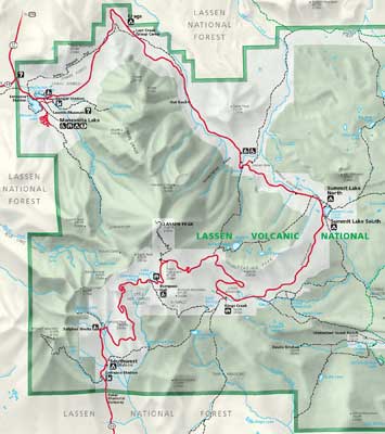
Map of the park (click for a larger view)
A short ways past the entrance station was the Loomis Museum, which was filled with the area's history.
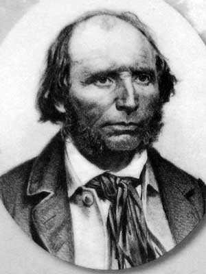
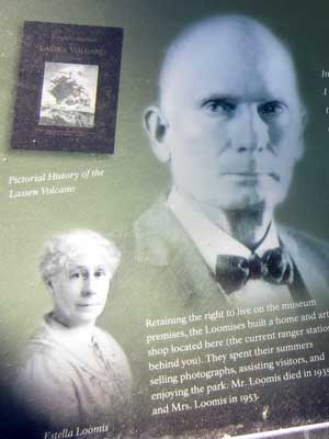
Peter Lassen .... and Benjamin Franklin Loomis (1857 - 1935)
Loomis was a local homesteader who photographed the eruptions of Lassen Peak and was instrumental in the establishment of the national park.
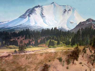
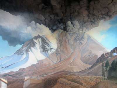
A peaceful Lassen Peak in the early 1900s ... and during the 1914 eruptions. An avalanche of ash, hot rocks, mud and snow scraped trees off the hills and covered distant meadows with debris.
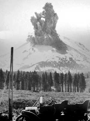
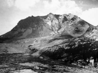
Loomis' photo of an eruption in 1914 .... After an avalanche in 1915
(left) Click for a larger view
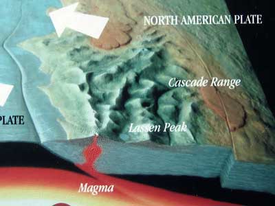
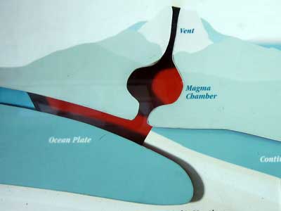
As oceanic plates are thrust under the North American Plate, rock is melted and collected in magma chambers. When it heats water, it causes thermal features. If the pressure continues, it can cause volcanic eruptions. Earthquakes also occur.

Mount Tehama (or Brokeoff Volcano) between 600,000 - 400,000 years ago
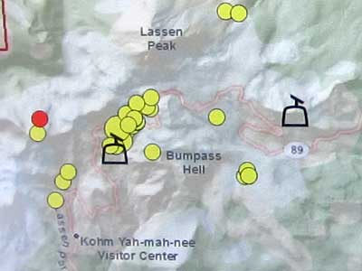
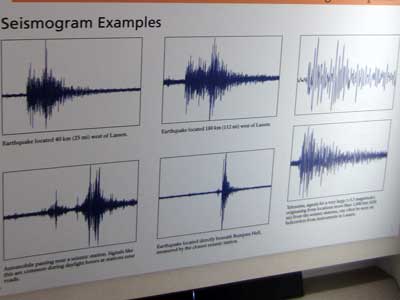
Local earthquake recordings
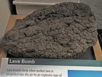
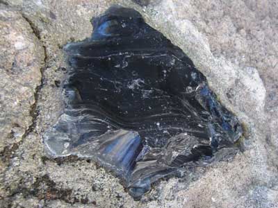
Volcanic rocks
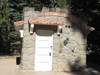
An earthquake recording station
We drove down to the south end of the park to take a walk to Bumpass Hell.
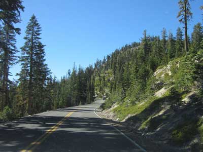
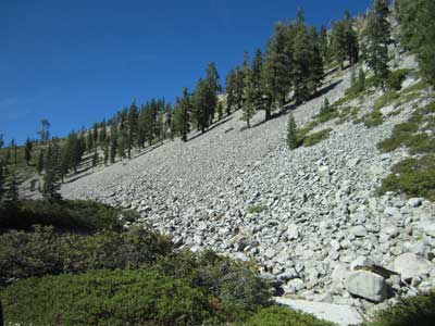
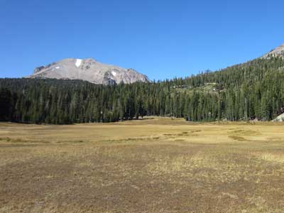
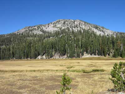
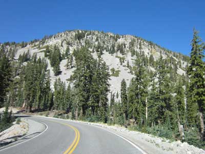
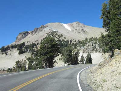
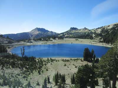
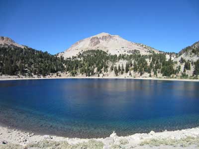
Lake Helen. It is not unusual for 40 feet of snow to accumulate here, and for patches of snow to last into July.
The trail was about 1.5 miles (one way) to Bumpass Hell, the largest upward-flowing hydrothermal feature in Lassen Volcanic National Park. It included steam vents (fumaroles), mudpots and boiling springs.
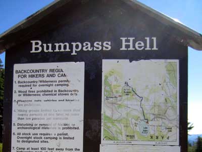
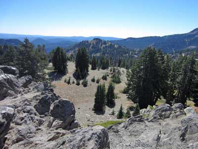
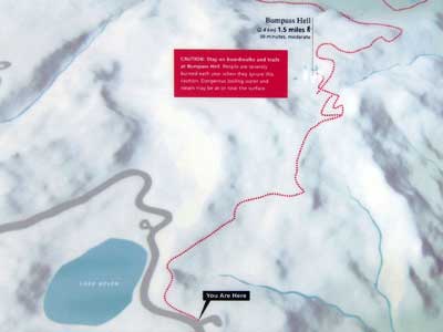
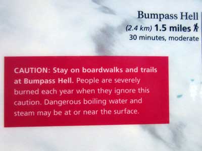
(left) Click for a larger view of the map
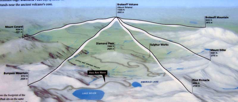
Our current location compared to where the giant volcano used to be
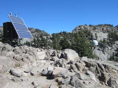
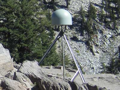
This EarthScope Plate Boundary Observatory station is part of a network of over 875 stations installed across the western US to study movement of the Earth's crust. The GPS equipment can record changes within a few millimeters.

return • continue

