CAPITOL & PROMONTORY (Day 2 - part 5)
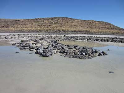
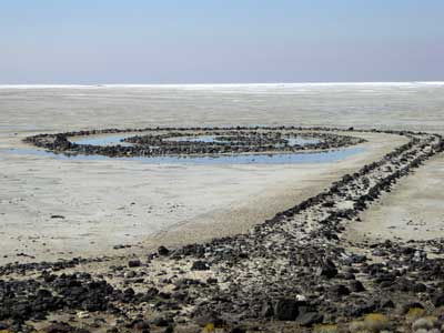
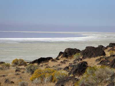
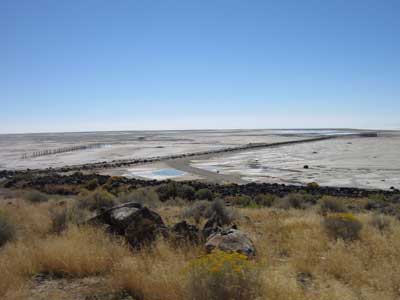
The Spiral Jetty was constructed in 1970 by artist Robert Smithson (1938 - 1973). Located on the shore of the Great Salt Lake, the earthwork sculpture is made only of mud, salt crystals and basalt rocks. It is 1,500 feet long, 15 feet wide, and forms a counterclockwise coil. Ideally, it would form a sort of pier, but in its early days, fluctuating water levels would sometimes completely submerge it. Unfortunately in the early 2000s, there was a long drought which caused the water to start to recede. Now, barely any puddles even lingered around it.
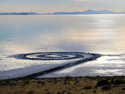
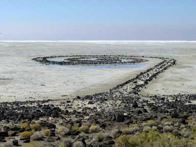
(left) The jetty in 2004 .... (right) and today
The Great Salt Lake is the largest salt water lake in the western hemisphere, covering about 1,700 square miles. It's a remnant of a much larger prehistoric lake called Lake Bonneville. At its peak, Bonneville covered roughly ten times the area of the current lake. It was 923 feet at its deepest point and covered much of Utah. About 16,800 years ago, a large portion of the lake was released into Idaho.
The Great Salt Lake, as was Lake Bonneville, is a closed (or endorheic) lake, meaning water flows in but not out. Water levels are only reduced by evaporation or seeping into the ground, which usually results in a saline or saltwater lake. Since the Mormon pioneers arrived in 1847, the lake has shrunk to half its historic size. Most of that decline is due to human water use in homes, farms and industries. More and more water is being diverted from rivers and streams that would otherwise feed the lake. Water levels are currently about 11 feet below their historic levels.
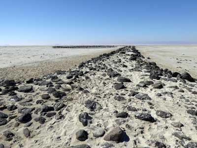
Setting out along the top of the jetty
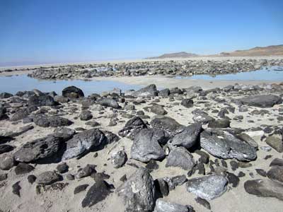
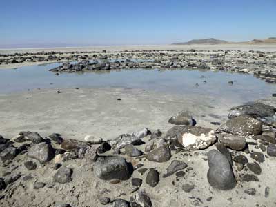
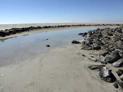
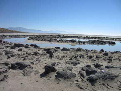
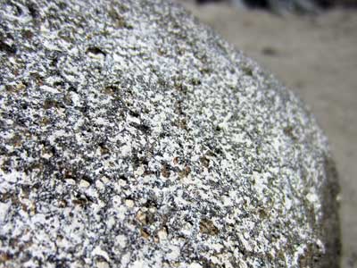
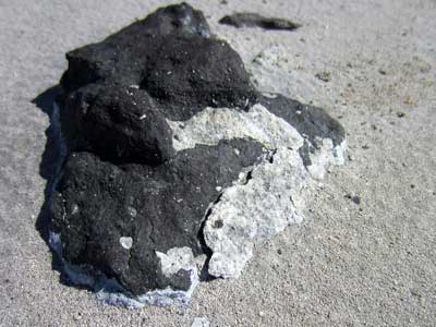
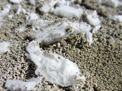
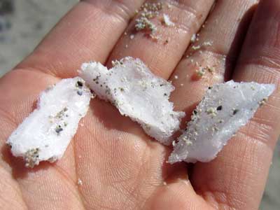
Everything was covered with salt crystals.
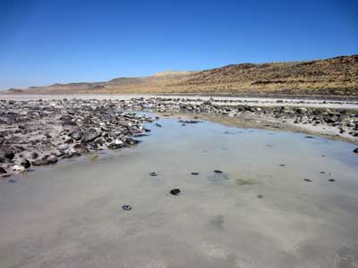
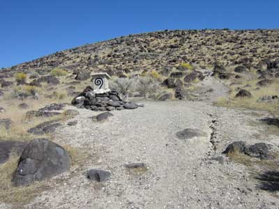
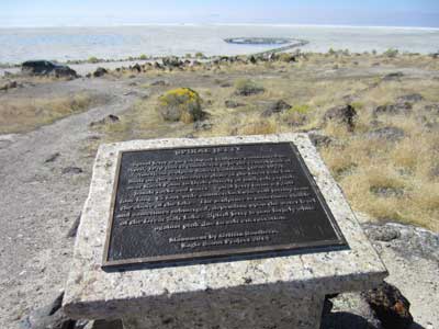
We then walked up the hill to a small plaque and got a better overview.

We drove the bumpy 15 miles back to Promontory.
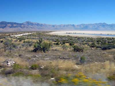
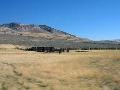
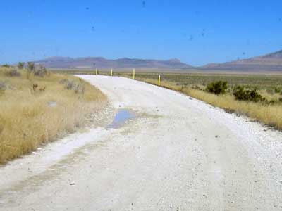
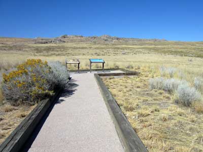
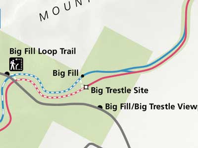
On our way out of the Golden Spike historic area, we made one last stop at the Big Trestle Site. While the rails and timber are all gone, there's still lots of evidence in the landscape that the tracks were once here. This deep ravine in the Promontory Mountains posed a problem.... one that both railroads competed to solve in different ways, literally right next to each other.
The Central Pacific Railroad decided to do the Big Fill. Instead of drilling an 800-foot tunnel through the mountain, they filled in the Spring Creek Ravine. It took over two months, 500 workers, and over 100,000 cubic yards of material to fill the 500-foot long and 70-foot deep gap.
The Union Pacific was running several months behind and lacked the time to fill in the deep gorge, so instead they built the Big Trestle. It was meant to be a temporary bridge that could be filled in later. It was located a mere 150 yards east of all the work going on with the Big Fill. The relatively flimsy wooden structure was built in just 36 days and was some 400 feet long and 85 feet high.
Six months after the completion ceremony, the Central Pacific was awarded control of this section of track and all trains began using the Big Fill rather than the Big Trestle (which was eventually mostly dismantled).
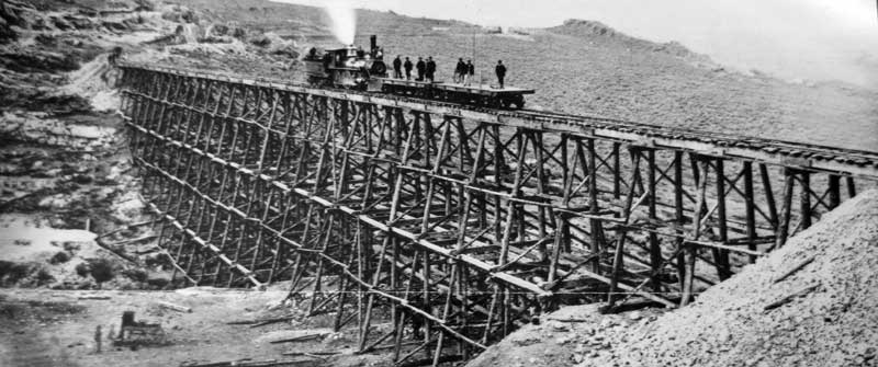
Union Pacific No. 119 on the temporary Big Trestle

View of the current hill with the Big Fill...

... and an old colorized photo showing what was filled in
return • continue

