CAPITOL REEF (Day 23 - part 2)
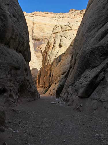
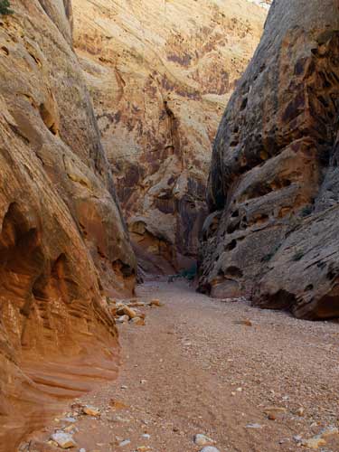
I continued back though the Narrows.
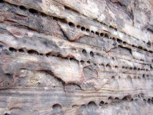
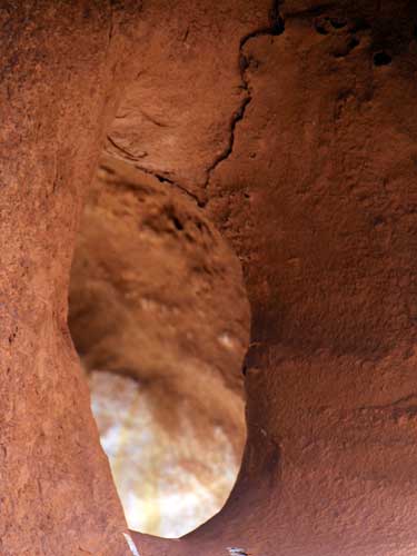
Something once rested in these rows of holes... a harder element that very likely fell out once erosion got so far.
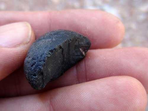
Something like this perhaps?
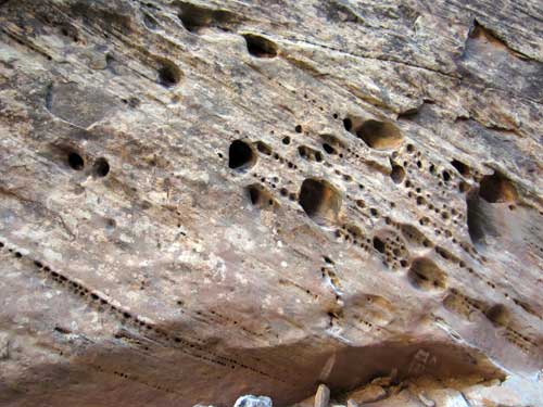
Why are some holes in the rows (in this case, diagonal rows) bigger than others?
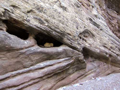
One reason could be that other rocks worked their way into some holes (such as here), and with each flood, they bounced around inside the hole, grinding it bigger and bigger over time.
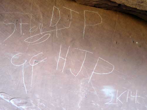
So, this was just done this year. It is clearly graffiti....
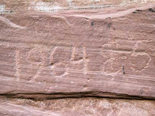
... But, 1964? At what year does it switch over to being considered history? (Hopefully at least older than the year I was born since I don't in any way want to be considered historic!)
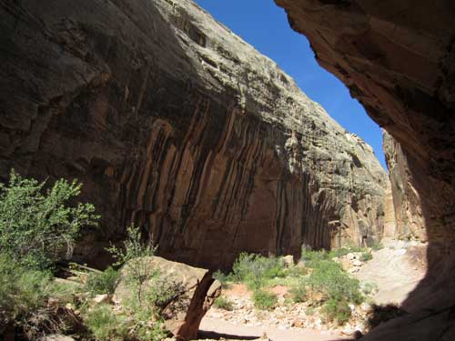
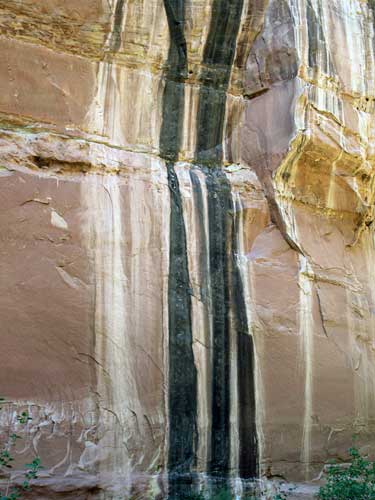
The black streaks are formed by water and organic material flowing over the sandstone during rain. White streaks indicate salt.

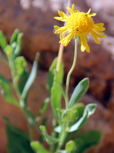
My best guess for this is an Indian Blanket (a type of Gaillardia). While generally these flowers also contain lots of red, they can come in almost any color of yellow, orange, red or bicolored. The petals are sometimes rolled into a funnel shape (as they appear to be here).
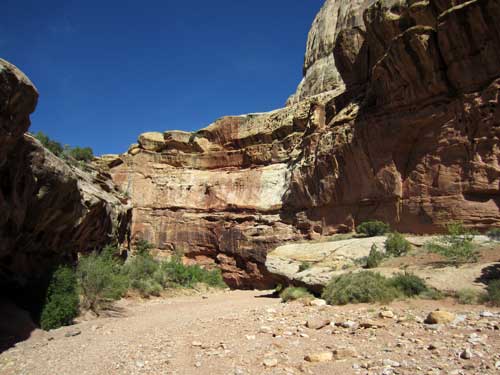
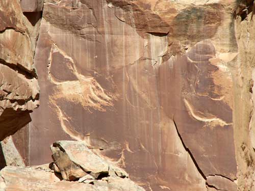
Desert varnish (sometimes called rock rust or desert patina) is the coating found on exposed rock surfaces in arid environments. It forms only on physically stable rock surfaces that are no longer subject to frequent precipitation, fracturing or wind abrasion. Originally scientists thought the varnish was made from substances drawn out of the rocks, however, studies show that a major part of varnish is clay, which could only arrive by wind. This clay layer then catches additional substances that chemically react together when the rock reaches high temperatures in the desert sun. It can range from an orange-yellow to black color (depending on the amounts of iron and manganese oxides). Desert varnish often obscures the identity of the underlying rock, which is revealed when the varnish is scraped off. The native tribes used this to their advantage to create their petroglyphs, but sometimes nature decides to just rub some off and create its own art.
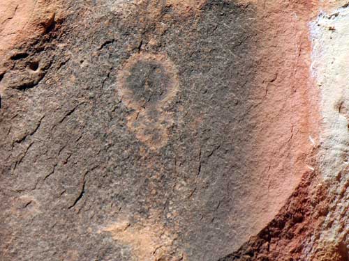
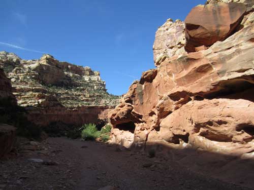
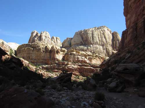
Once last glance back
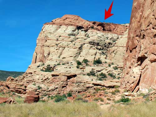
The parking lot was quite full by the time I returned. As I was about to get into my car, I noticed that I could see a bit of Cassidy Arch behind one of the cliffs.
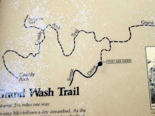
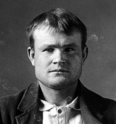
The arch is named for Butch Cassidy (Robert Leroy Parker, 1866 - 1908), an outlaw and train robber. According to legend, he had a hideout in Grand Wash.
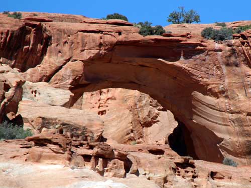
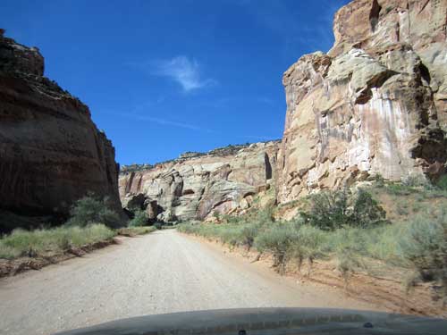
I made my way back along the dirt road, admiring the giant cliffs all around me.
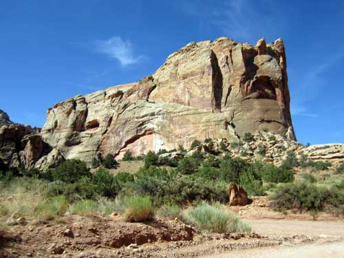
Not too far away was a pullout. I stopped and read the info sign. Oooh... this was an old mine!
Early attempts at mining in the Waterpocket Fold area included copper, limestone, gold, oil, coal and uranium. While no one became wealthy, some people could make a living at it ... at least until 1937 when the national park was created and mining this land became off-limits.
This was the location of the Oyler Mine. Numerous claims were filed all in almost the exact same spot... the Nightingale Mining claim in 1901, the Little Jonnie claim in 1902, the Nixon and Sumner claim in 1904. Failure to perform the required annual development work caused the claim to lapse and Michael V. 'Tine Oyler of Fruita was next to file on it in 1913. From then until this area was closed, the small region around the Oyler Mine was filed on no less than 75 times. Sumner and Nixon had dug two adits (horizontal shafts). They also started building two stone walled structures (as a cabin and storage shed) but these were never completed.
In the 1920's, uranium was used in some medicines. Pieces were ground up and mixed with drinking water or packaged to put on arthritic joints to cure rheumatism and other ailments. After the development of the atom bomb and the resulting nuclear arms race, a uranium frenzy swept across the Colorado Plateau. But it wasn't really the uranium they were after, for its uses were mostly limited to a colorant in glass and ceramic glazes. Of greater interest were the traces of radium that occurred as impurities in the uranium. At the time, radium was one of the most valuable substances on the planet, worth about $80,000 per gram. Under the claim that uranium was critical to the nation's defense, the Atomic Energy Commission was given power over federal land-use agencies such as the National Park Service, and Capitol Reef National Monument was opened to rampant mining. Over 10,000 claims were filed on; shafts were dug or dynamited, and miles of road were cut. The special orders expired in 1956. That, coupled with a drop in the price of uranium as well as the discovery of larger deposits elsewhere, ended the Oyler Mine... not that it ever produced very much in the first place.
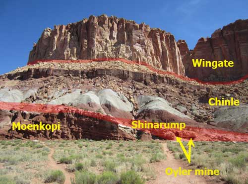
Uranium is found in two rock layers here. The easiest and most exposed one is the Shinarump, within the Chinle Formation. Most of the uranium lies between it and the underlying Moenkopi mudstones. The Shinarump is a coarse sandstone and conglomerate mixture laid down by a massive river drainage system over 200 million years ago. The plant material trapped along these ancient river channels would become the primary component of uranium.
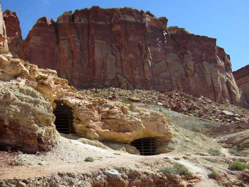
The two mine entrances
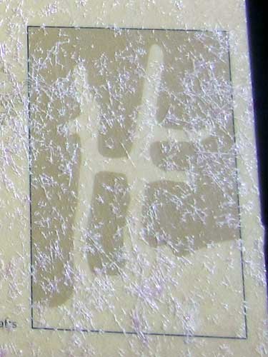
Map of the mine. Each shaft is about 108 feet long and 6.5 by 8 feet. They were spaced about 14 feet apart.
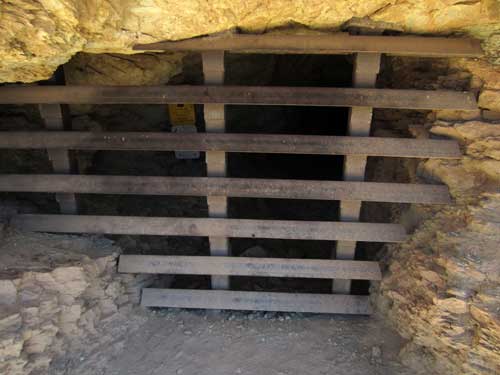
In 1993, protective gates were added that allowed for bats to still come and go. The previous chain-link fences were frequently vandalized and ineffective at keeping people out.
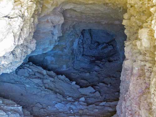
A peek into the mine
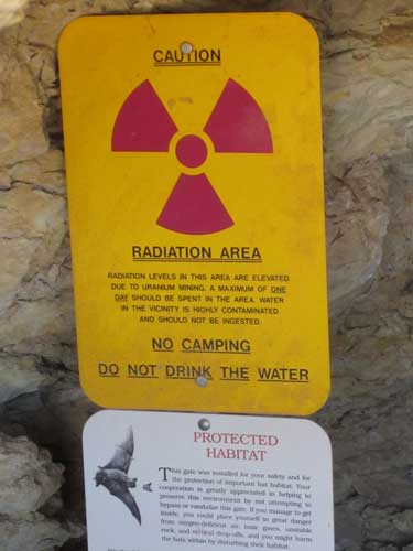
Radiation levels were monitored to ensure that park visitors would still be safe at the gated portals. Levels inside the mines are also quite low and are thought to have minimal impact on roosting bats.
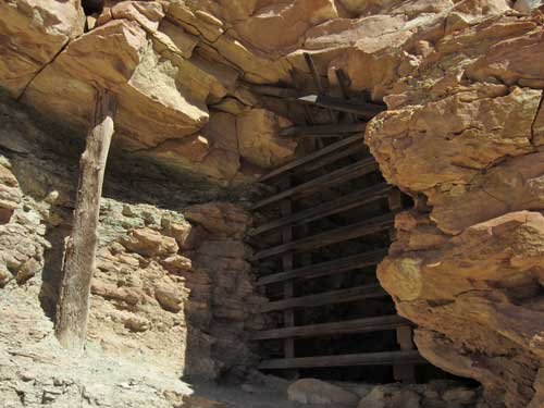
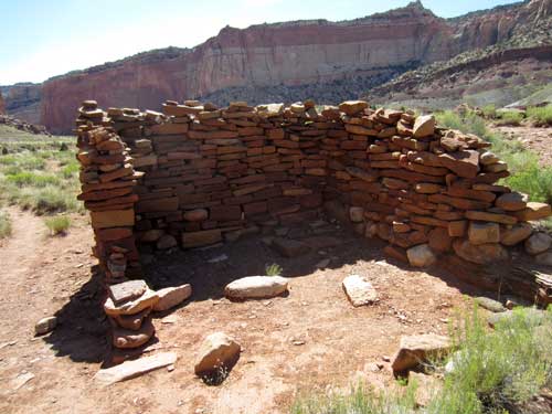
One of the old structures built by Sumner and Nixon
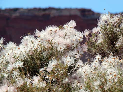
Apache Plume actually has white flowers. These are the fruit heads. The feathery, purplish tails are said to resemble Apache headdress.
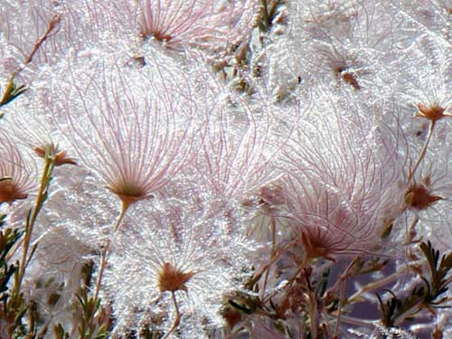
Some 'plumage'
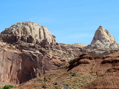
I returned to the main paved scenic drive and continued down to Capitol Gorge. It was only 10:45 am when I arrived but already quite hot. And while the hike would have been short and easy with many interesting things to see, I just wasn't in the mood for the long drive down another bumpy dirt road to get to the trailhead.
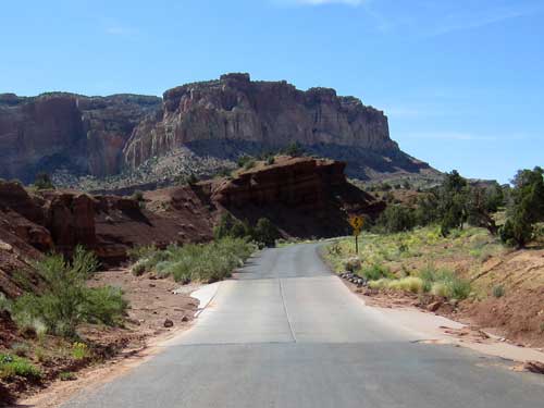
There were MANY spots where flooding waters would cross the road.
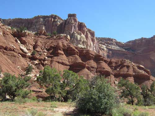
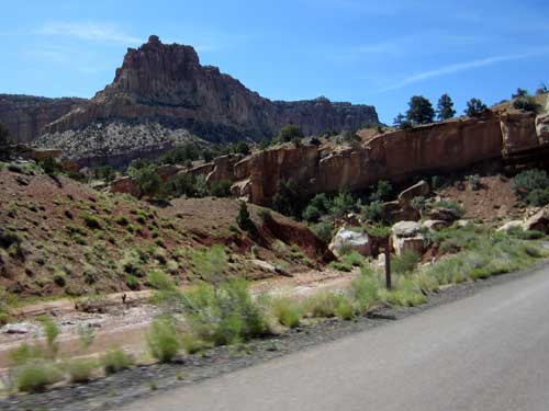
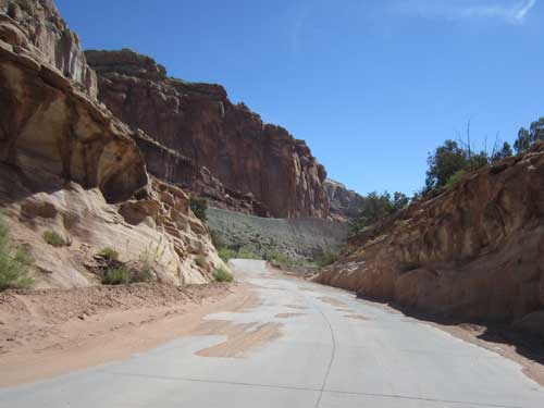
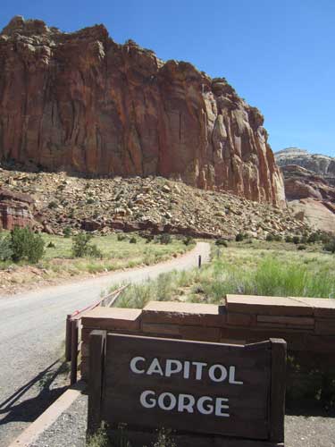
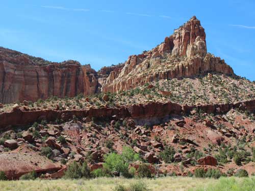
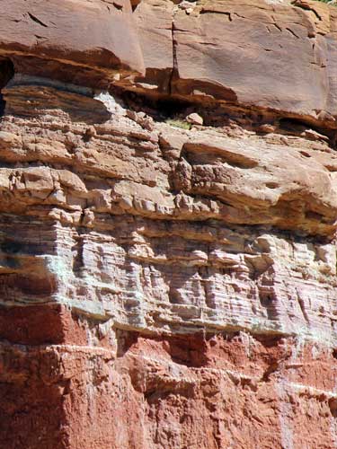
Such an incredible range of colors and textures!
return • continue

