KODACHROME BASIN STATE PARK (Day 21 - part 5)
The Shakespeare Arch/Sentinel Trail was a 1.7 mile loop past the only large natural arch within the park. It was listed as easy/moderate, but it soon lost its easy level due to lots of loose rock, slanted angles and washed-out sections. I ended up turning around after glimpsing the highlights.
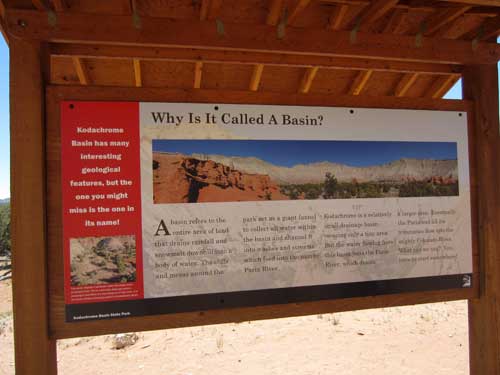
A basin refers to the entire area of land that drains rainfall and snowmelt downhill into a body of water. The cliffs and mesas around the park act as a giant funnel to collect all water within the basin and channel it into washes and streams which feed into the nearby Paria River. Kodachrome is a relatively small drainage basin covering only a tiny area. Eventually the Paria River, which drains a larger area, flows into the Colorado River.
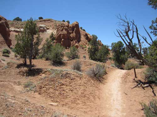
Setting out
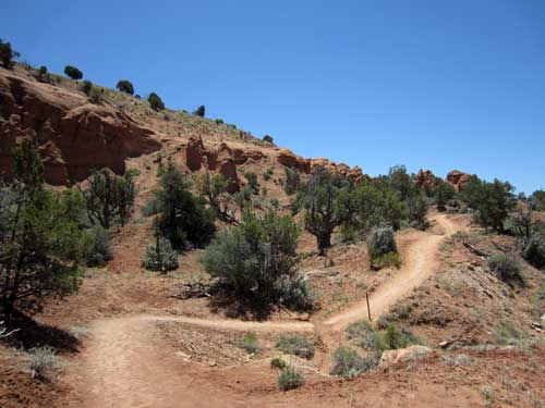
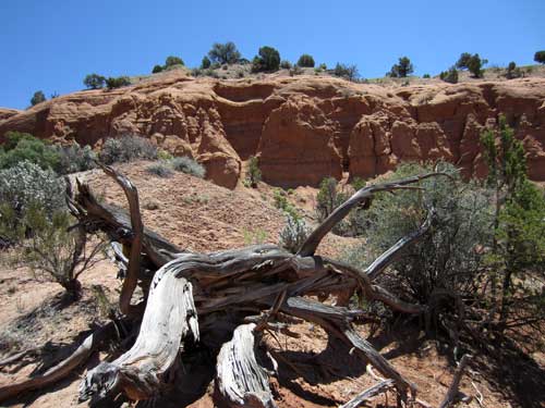

Click for a larger view of the panorama
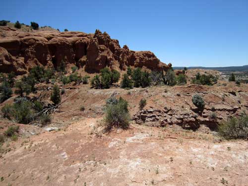
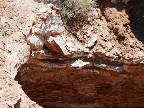
A closer view of the 'white stripes' lining some of the cliff edges
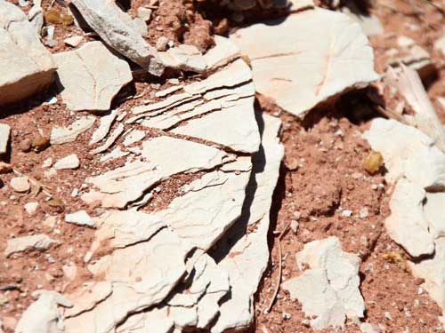
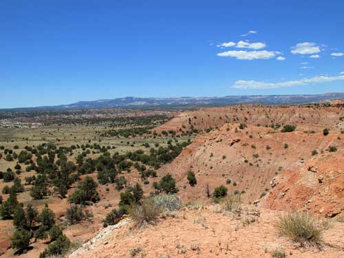
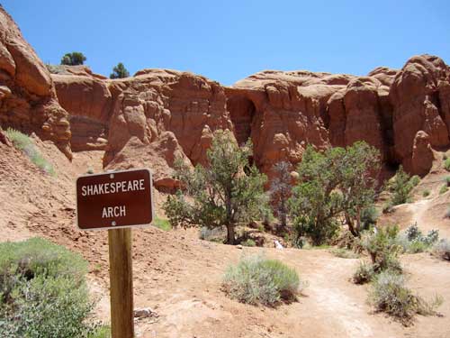
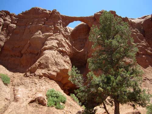
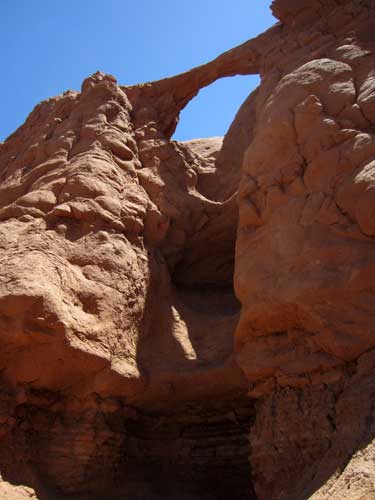
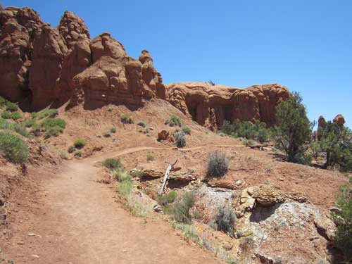
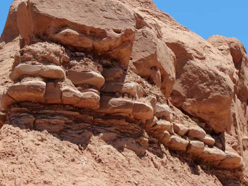
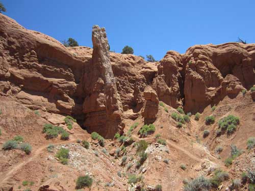
Sentinel Arch. This is where the trail switched drastically into 'moderate' mode and I soon turned back.
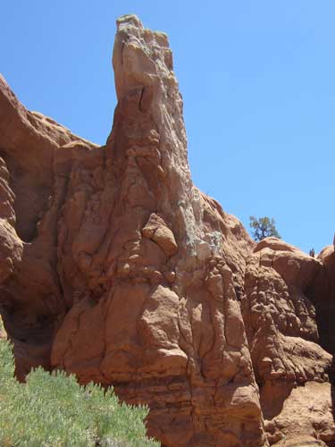
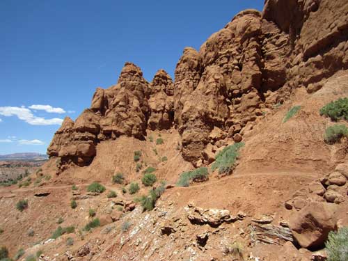
Heading back
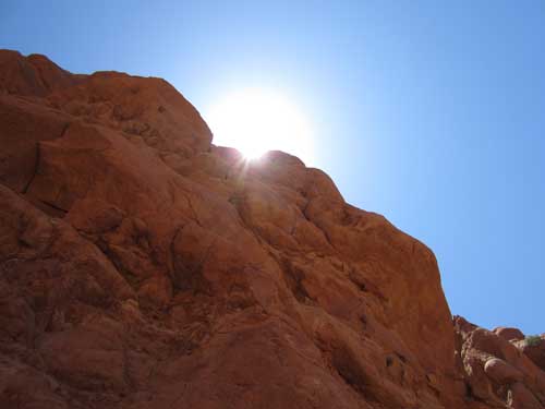
The sun was absolutely scortching!
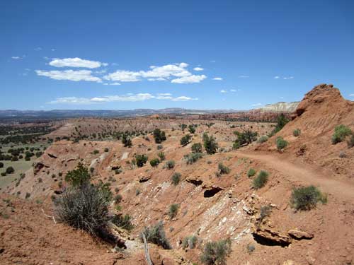
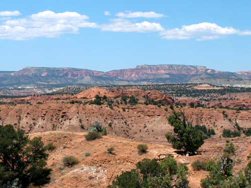
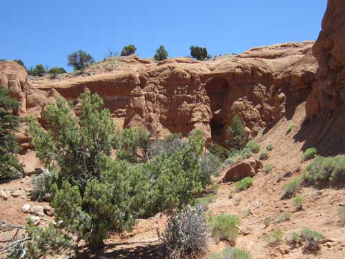
Shakespeare ARch again
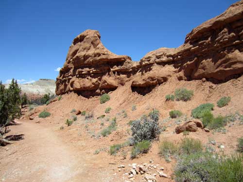
I left the trailhead around 2 pm and exited the park.
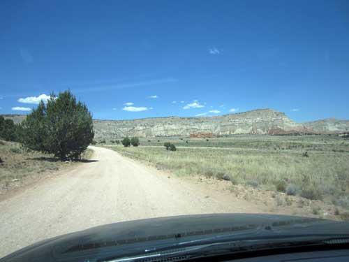
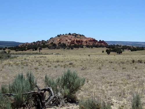
This is where I had just hiked!
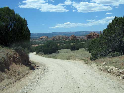
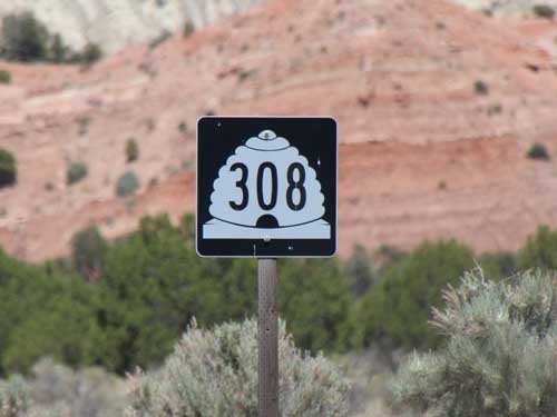
The highway numbers were depicted in cute beehive signs since Utah is known as the Beehive State.
What's in a name? The Apache name for the Navajo Indians was Yuttahih, meaning 'one that is higher up.' The Europeans misunderstood this to mean the tribes living higher in the mountains, or the Utes. Hence they called the territory the land of the Utes... or Utah. Most of the nicknames associated with Utah have to do with the Mormons who first settled here. They named this area Deseret, which according to the Book of Mormon was an ancient word for honeybee. The beehive represents the qualities of industry, perseverance, thrift, stability and self-reliance... all qualities necessary to survive in such an unforgiving environment.
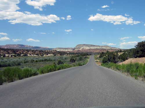
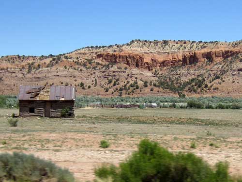
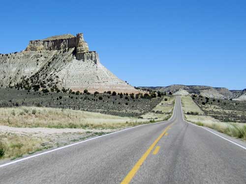
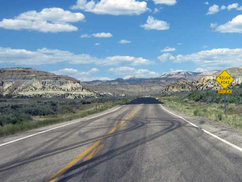
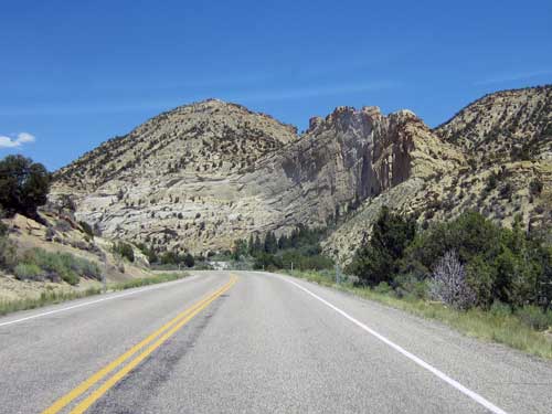
I then followed Highway 12 through parts of Grand Staircase-Escalante National Monument to Boulder (Utah). Part of this highway follows one of the old expedition routes from the 1870's. There were several informative stops along the way.
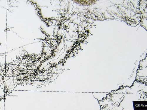
A 1868 map of this area showing a large blank spots
In 1871, this region was one of the last uncharted territories in the continental US. Expeditions in the following years led explorers up these very cliffs. In 1879, surveyor Clarence Dutton named them Powell Point in honor of Major John Wesley Powell who led a number of these expeditions.
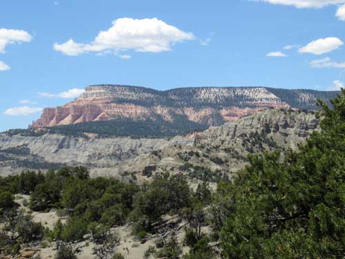
Powell Point reaches the topmost layer in the Grand Staircase, the same Pink Cliffs that form Bryce Canyon.
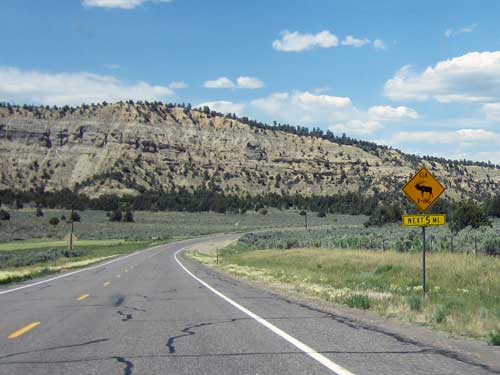
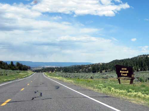
The scenery was constantly changing as I made my way northeast.
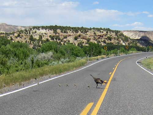
A mother wild turkey herds her young ones quickly across the road.
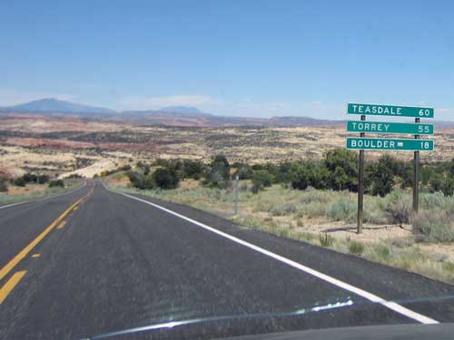
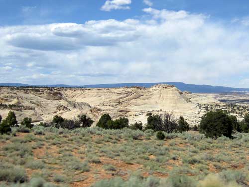
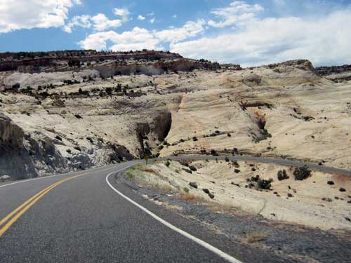
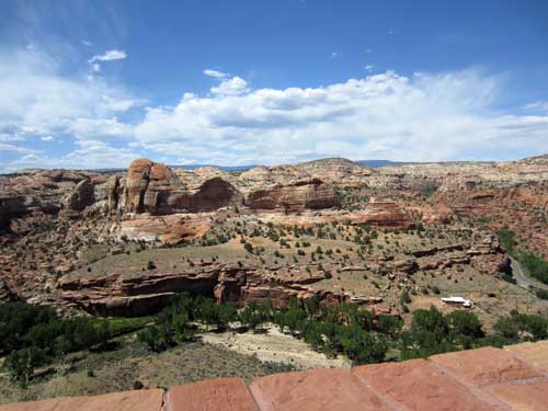
Another viewpoint/ The Escalante River is a narrow vein of life in the desert. Lined by Freemont Cottonwoods, this area is home to a wide variety of animals such as beavers and even mountain lions.
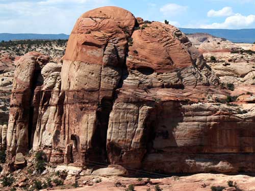
Incredible shapes and colors!
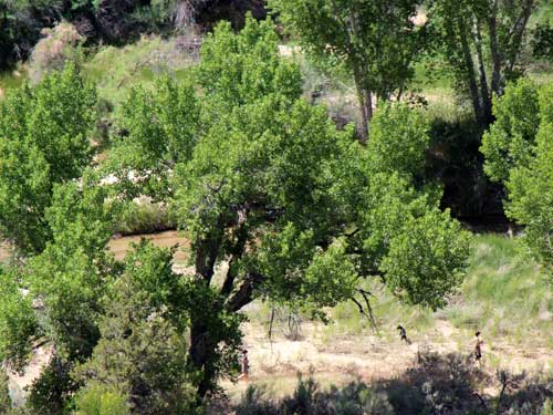
A man and his dog enjoy the lush foliage far below me. It truly does look like a different world.
return • continue