PIKES PEAK (Day 1 - part 3)
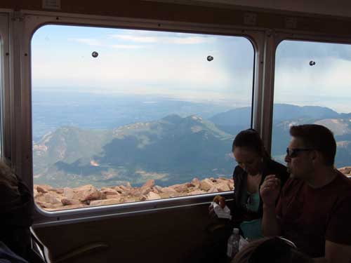
We started our descent at 3pm. It would take us a bit over an hour to get back down to Manitou Springs. The train didn't turn around... we simply got to go down backwards this time.
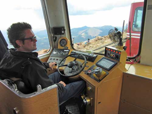
Andy, our driver
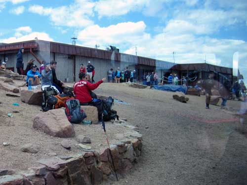
A bunch of hikers wave us good-bye.
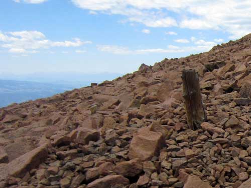
Could this be the remains of one of the old telegraph lines that Zalmon G. Simmons came up to inspect in 1889?
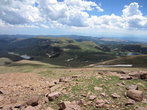
Lake Moraine to the left and Wilson Reservoir to the right
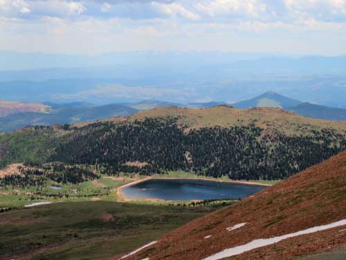
Wilson Reservoir (Colorado Springs #8) is created by Wilson Dam. Although natural lakes did occur on the slopes of Pikes Peak, the city of Colorado Springs set about enlarging the existing water supply by constructing dams when it acquired the property in the 1890's. Today they also serve as popular recreation (fishing) areas.
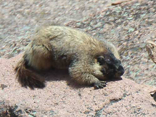
Let sleeping marmots lie.
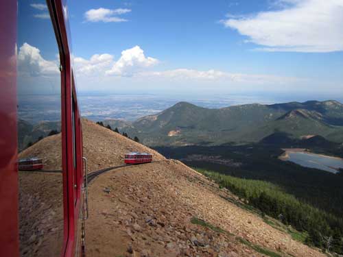
This time the joint Salida-Leadville cars get to go first.
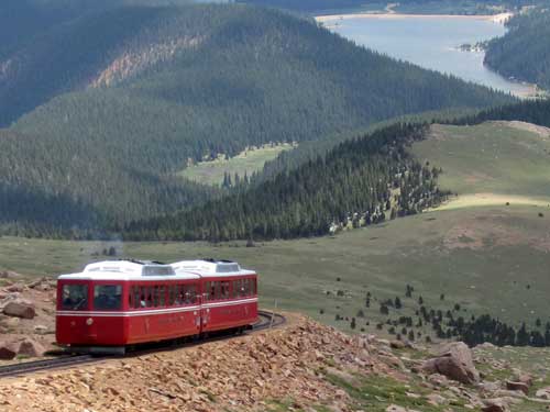
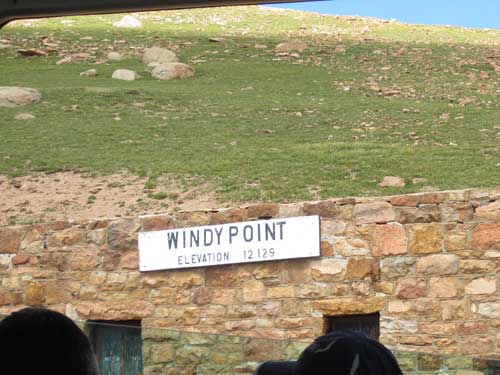
Again we arrive at Windy Point. This stone building was once the section house, where a crew lived who maintained the upper sections of the track. At least one baby was born here.
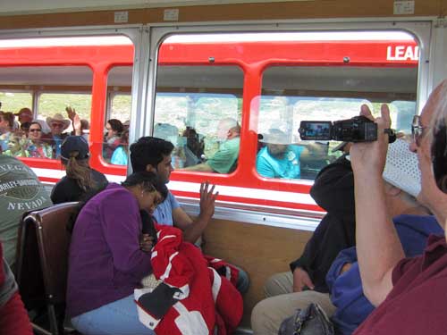
Passing an upward bound train here
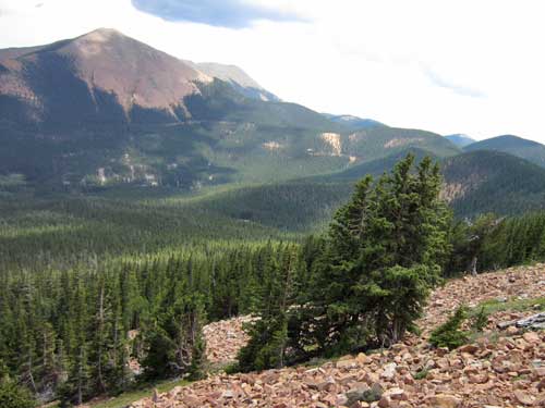
Descending back into the trees. Note how many of them are slanted, indicating strong winds.
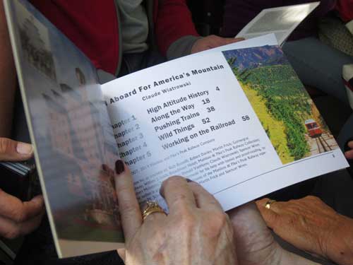
Learning about what we are seeing
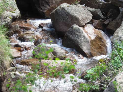
A lovely cascade
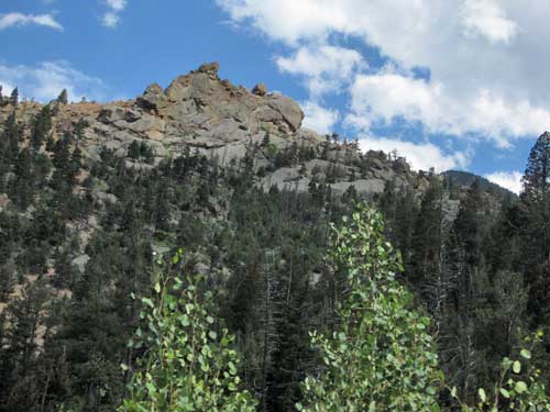
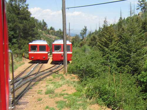
Minnehaha is the location of another siding (passing area). The old former town was named after a character in Henry Wadsworth Longfellow's poem The Song of Hiawatha, written in 1855. The name means "waterfall" or "rapid water" in Dakota.
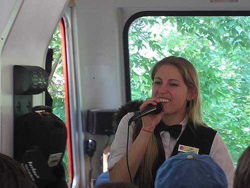
Ruby, our conductor, points out some things of interest along the way.
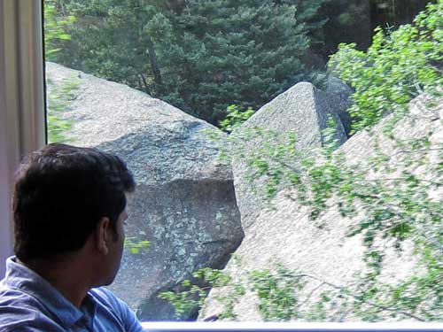
Can you guess which one is named Diamond Rock?
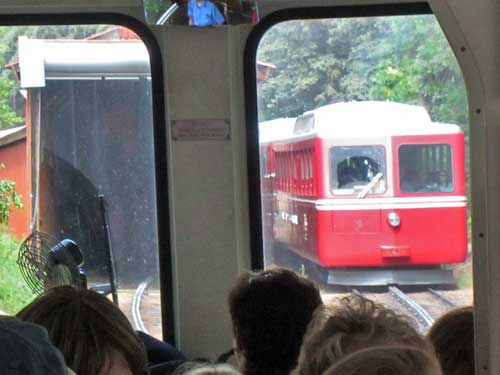
Returning to the depot
We left Manitou Springs and headed into nearby Colorado Springs in seach of a place to eat. We found a little fast-food Mexican place that had an interesting charm... so in we went. It was actually quite good!
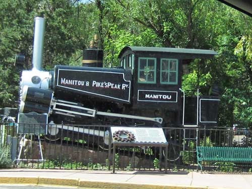

Complete with drive-thru!

Lively decoration...
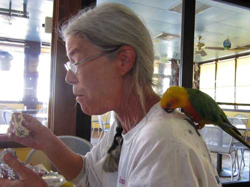
... and entertainment! This woman was feeding her parrot pieces of her lunch.
We continued south for a bit then turned west at Walsenburg.
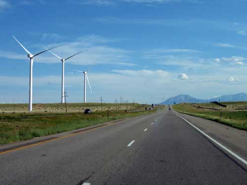
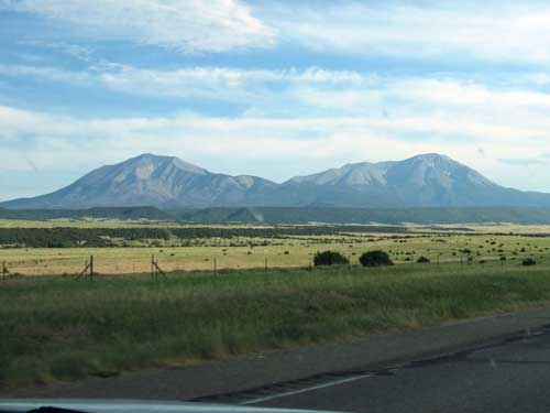
The Spanish Peaks are comprised of East Spanish Peak (left, 12,683 feet) and West Spanish Peak (right, 13,626 feet).
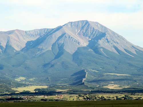
A closer view of West Spanish Peak
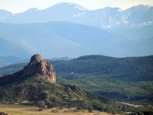
Goemmer Butte is located in the Cuchara valley near La Veta. It is named for the Goemmer (pronounced gimmer) Brothers Ranch on which the butte sits. John Peter Goemmer immigrated from Germany, arriving here in the late 1870's.
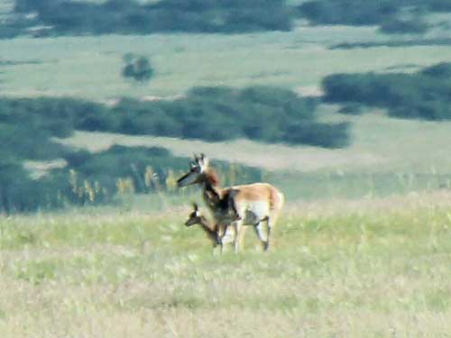
A Pronghorn with her fawn
The pronghorn is neither a deer nor a true antelope. It is actually the only surviving member of its family. During the Pleistocene (the epoch during which Homo sapiens evolved), a dozen species existed in North America. The pronghorn's closest living relatives are the giraffe and okapi.
The young are born in May or June. The fawn can walk within a few hours of being born and can sprint at speeds up to 25 miles per hour within a day or two. Its most dangerous time is during the first two months of its life. Only about 40% of fawns born in June live until mid-July. Pronghorn can live up to 10 years.
While pronghorns can run very quickly, they can not jump like deer do. Therefore as settlers and ranchers moved across the southwest building fences, pronghorn populations drastically decreased due to hampered migration. It is estimated that in the mid-1800s, they numbered in the millions, whereas by the 1920s, their numbers had been reduced to about 20,000.

A snow fence forces windblown snow to accumulate in a desired place. They are often used (as in this case) to minimize the amount of snowdrift on roads, both for safety reasons as well as reduce maintenance costs.

They work in the opposite way you might expect. The blowing wind does not push show up against the backside of the fence. Instead, the fences cause turbulence in the wind so that it drops much of its snow load on the lee side (or downwind) of the fence, basically causing a snow drift to form in a location where it is not harmful or undesirable.
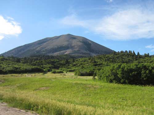
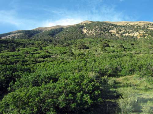
Driving through North La Veta Pass (elevation 9,413 feet). What was an easy trip for us must have been a complete nightmare for settlers in covered wagons.
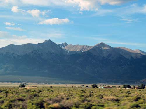
Blanca Peak (14,351 feet) is the tallest peak in this area and the 4th highest in the Rocky Mountains. It is part of the Sangre de Cristo (Spanish for 'Blood of Christ') mountain range.
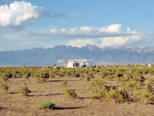
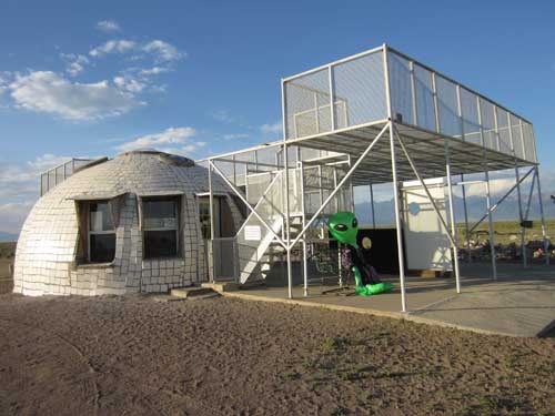
We still had a bit of daylight left so we swung by the UFO tower in Hooper. This was my second time here. The first time, it was closed.... as it was unfortunately this time as well. While called a 'watchtower,' it' actually more of a 'watchplatform.' It was started in 2000 by Judy Messoline, who chose this spot because she believed it to be the location of three linked vortexes.
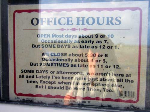
Ah, that explains everything.
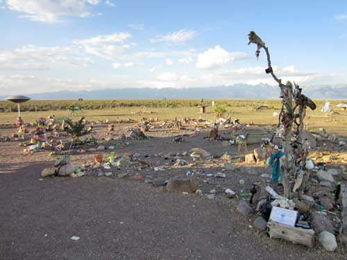
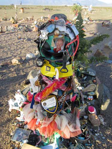
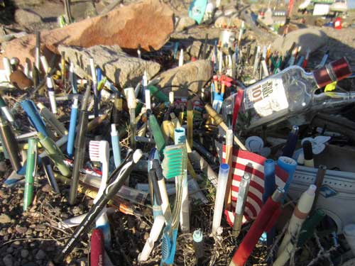
The lower area, where the vortexes were, was filled with all sorts of... stuff.

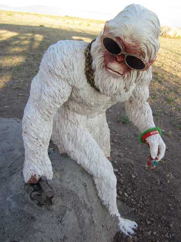
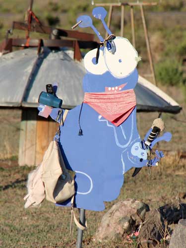

Bill makes a friend.
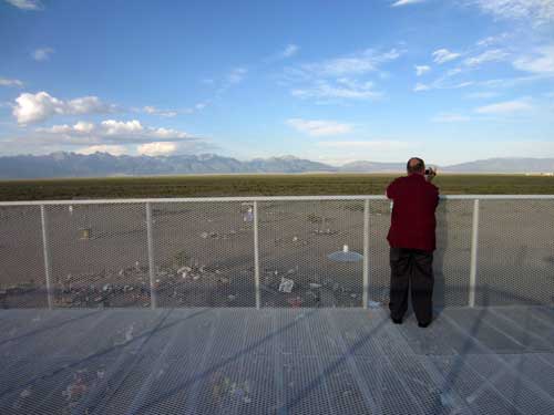
The view from the upper platform. The sky is indeed very expansive here!
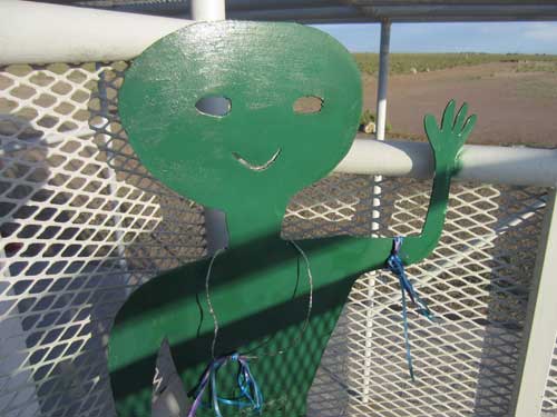
Bye for now!
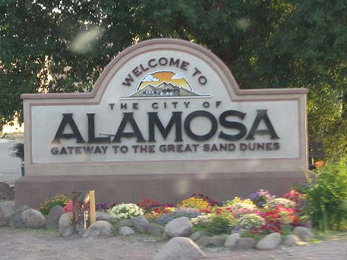
We headed to nearby Alamosa where we had a hotel already booked.


Feeding our trusty steed
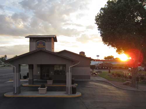
Our lodging for the night...

... complete with entertaining reading.

return • continue

