OURAY (Day 18 - part 4)
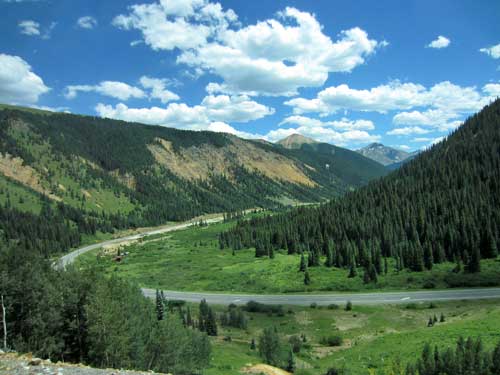
We continued along Highway 550 up to Ouray. This 25-mile part of the San Juan Skyway Scenic Byway is often called the Million Dollar Highway, although it is more the final 12-mile stretch between Red Mountain Pass and the Uncompahgre Gorge which really earns the highway its name. This first section would take along the edge of the Silverton Caldera, which we had learned a bit about on our mine tour.
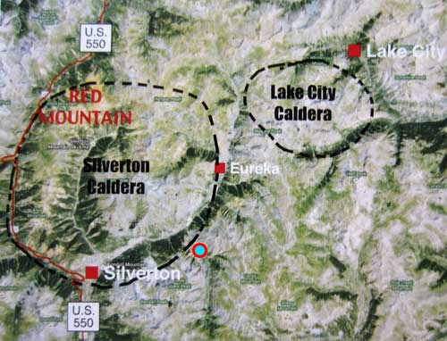
After volcanic eruptions covered the area with thousands of feet of debris some 30 million years ago, large craters (or calderas) formed as the result of a collapse due to both the weight and the draining of the large magma chamber.
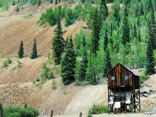
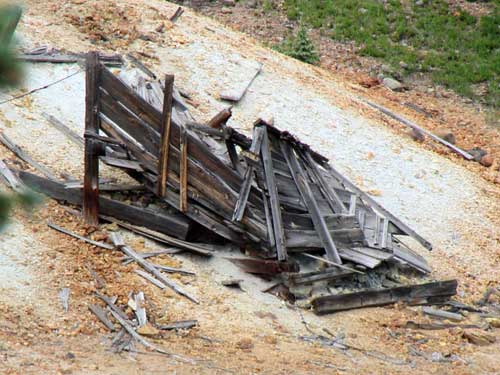
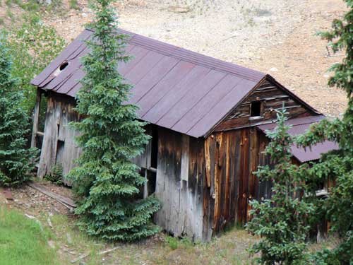
The hillsides were covered with old mining structures.
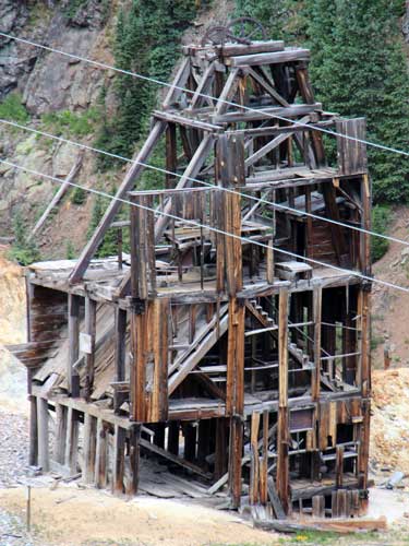
A tipple was used to load ore for transport, into wagons or railroad cars.
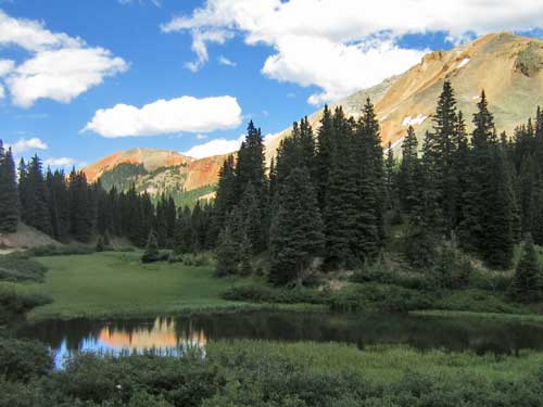
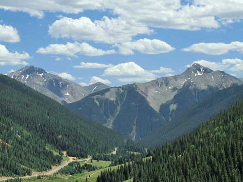
It's quite obvious how Red Mountain Pass (elevation 11,018 feet) gets its name.
Red Mountain is a set of three peaks in the San Juan Mountains. They get their name from the reddish iron ore rocks that cover the surface.
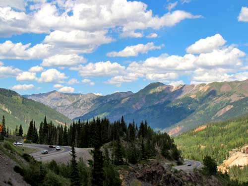
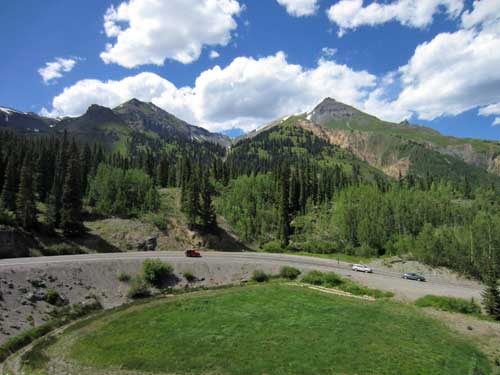
Beginning our descent from the pass
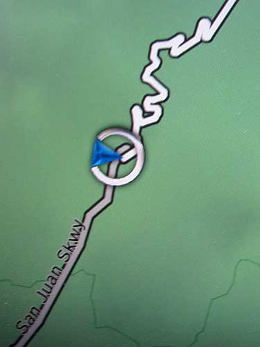
Wiggling our way down
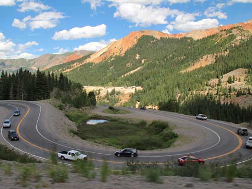
Red Mountain #2
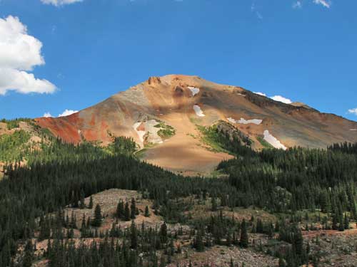
Red Mountain #3
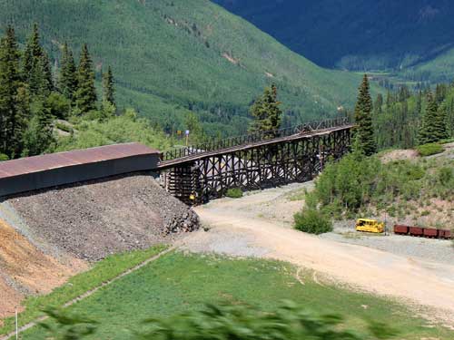
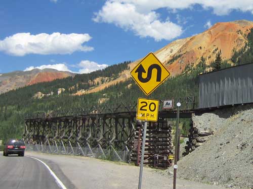
This old tressel once carried ore from the Treasury Tunnel of the Idarado Mine to a mill in the valley below.
In the 1880’s, there was a mining boom on Red Mountain Pass, but it was mostly over by the mid 1890’s. Then in 1939, the Idarado Mining Company was formed as a conglomeration of many of these old small mines, comprising some 100 miles of tunnels under the mountain ridge between the Red Mountain mining districts and Telluride. As part of the WWII war effort, minerals from the mine went into metal for planes, ships and tanks. For many years, it produced large quantities of lead, zinc, copper, gold and silver... and also toxic tailings.
The mine shut down in 1978 but its damage to the environment continued. In 1983, the state of Colorado sued the company, making it the first mine to undergo the Environmental Protection Agency Superfund process (a federal government hazardous substances cleanup program), like the Bonita Peak Mining District by Silverton is doing now. The massive land reclamation project stabilized and revegetated 11 large tailings piles, cleared sediments from the underground mine, diverted surface runoff around mine wastes and rerouted internal mine waters.
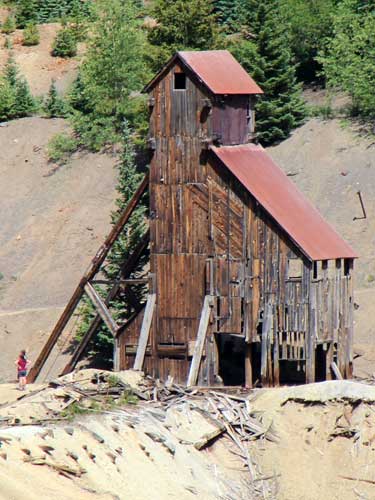
Remains of the Yankee Girl Mine. Discovered in 1882, it became one of the richest silver mines in the US.

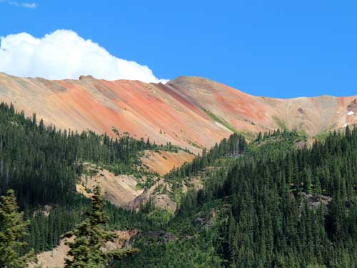
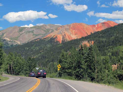
Red Mountain #1 (elevation 12,592 feet)
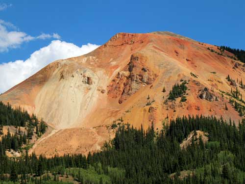
A closer view of Red Mountain #2 (elevation 12,219 feet)
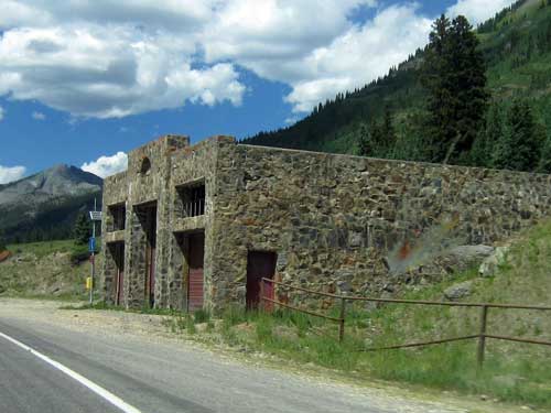
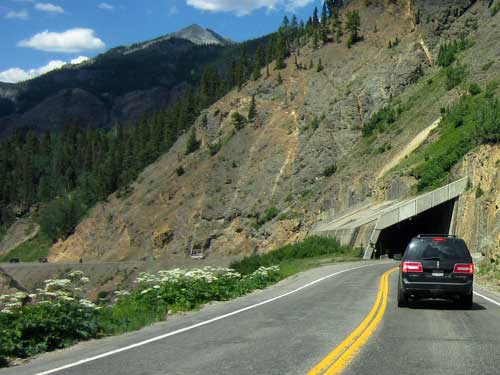
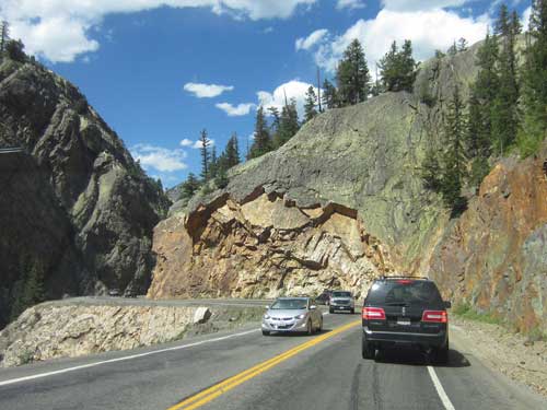
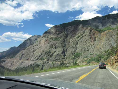
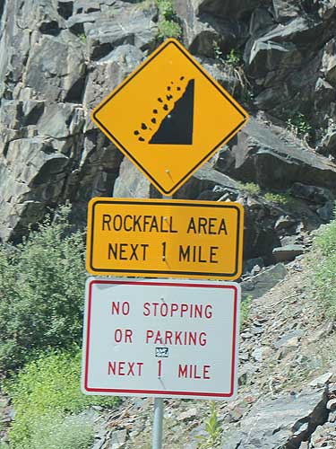
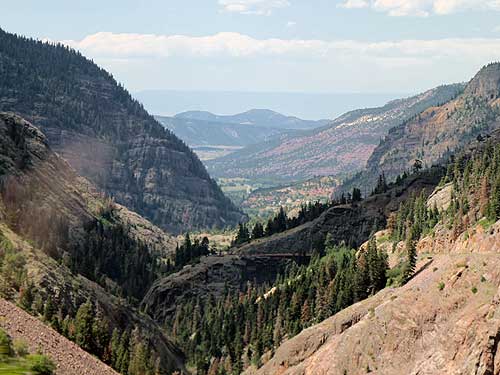
We stopped briefly at the Bear Creek Falls Overlook.
Around 66 million years ago, the area was uplifted, eroding the underlying rocks. Numerous volcanic eruptions began some 38 million years ago, covering southwestern Colorado with ash and debris. The liquid magma under the earth's surface was rich in metals such as gold, silver, lead, zinc and copper. As it oozed through existing rocks, it cooled and created all the minerals which were so popular with miners in the 1870's. The area was then dissected by streams and more uplift, creating the high mountains and steep narrow valleys. There is also evidence that glaciers moved through here.
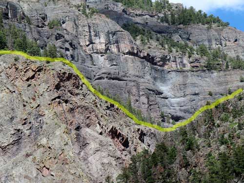
The rocks above my yellow line are the San Juan Volcanics. The lower rocks are the much older Uncompahgre Formation, consisting mostly of quartize and slate.
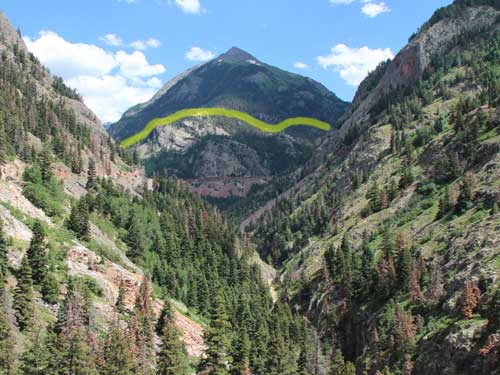
A look down the Uncompahgre River Gorge at Mt. Abram. The rock layers are visible here too.
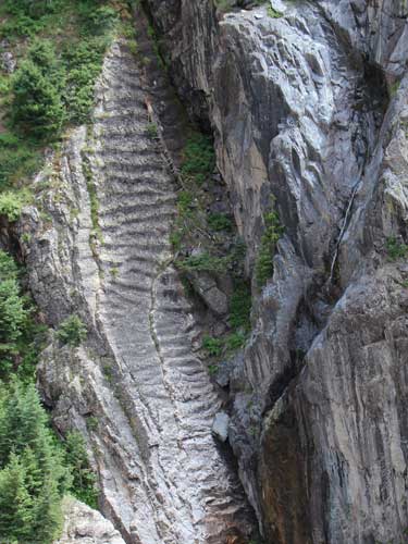
The ripple marks in this tilted rock were formed by moving water.
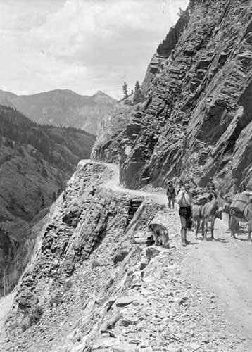
This section of the road was extremely difficult and expensive to build, costing nearly $10,000 per mile at the time. Men had to be lowered on ropes from the canyon rim to blast the walls with dynamite. It was built by Otto Mears in 1883 as a toll road to connect Ironton (near the Red Mountain mining districts ) with Ouray. In 1891, the country took over this road until 1917 when the Colorado Highway Department was formed. It was then rebuilt as Highway 550 and completed in 1924.
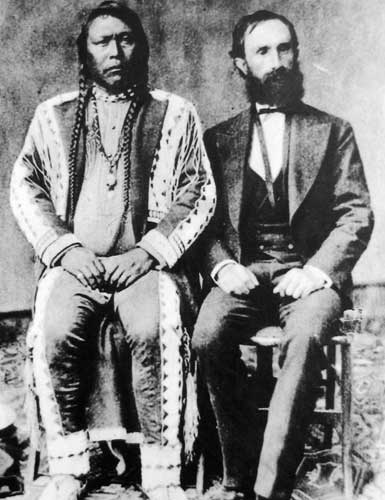
Otto Mears helped connect southwestern Colorado to the outside world. In 1873, he helped negotiate the Brunot Treaty (named after Felix Brunot, the US Commissioner of Indian Affairs) with Chief Ouray.
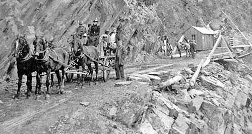
The toll booth charged $5 per wagon team and $1 for each head of livestock. Yup, this is the same exact road we are on now!
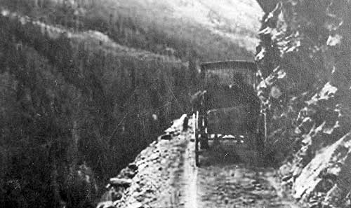
From this...
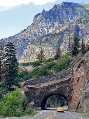
... to this.
We stopped at one more overlook before descending into town.
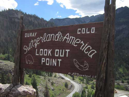
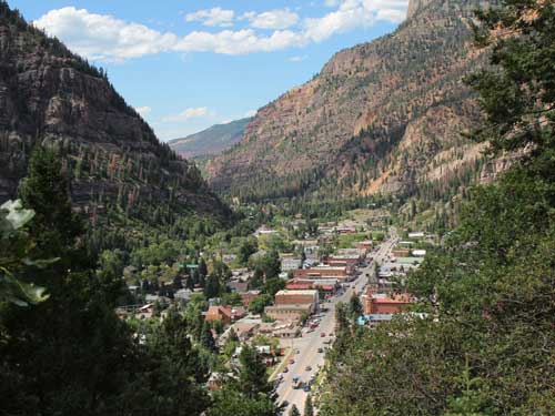
Our first glimpse of Ouray
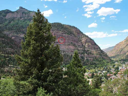
Waaaay high up on this cliff...
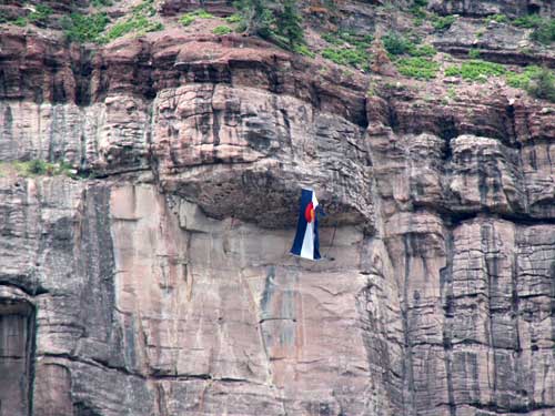
... flew this Colorado flag. What a feat it must have been to get it up there!
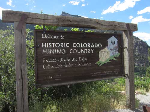
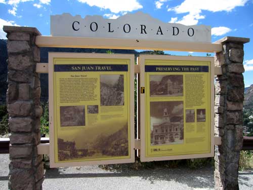
The history of travel over the San Juan Mountains... from pack animals to wagon roads to the paved highway
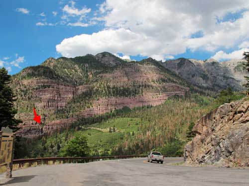
From the cliffs on the other side of the valley flows...
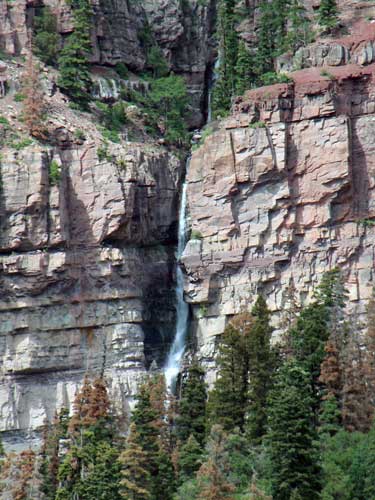
... Cascade Falls.
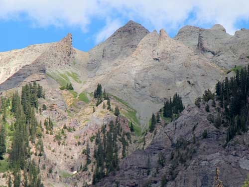
Intimidating peaks
return • continue

