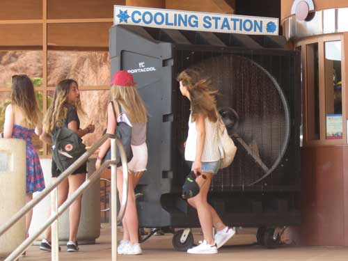
I returned to the gift shop to pick up Bill and Joanne. It was QUITE hot out! We then opted for a short drive along the top of the dam to some of the viewing points.
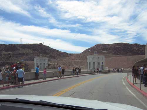
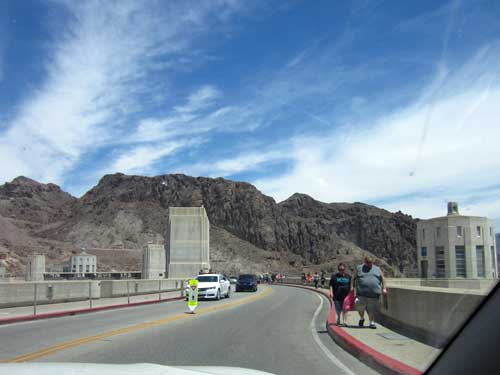
Driving over the dam
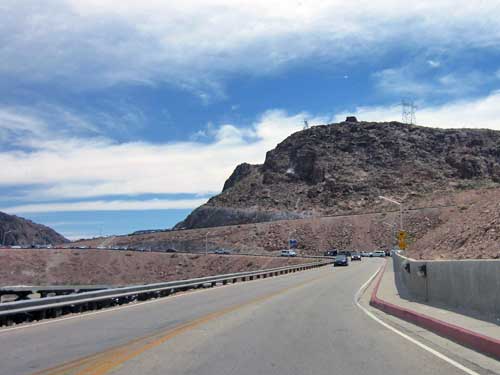
This is not a through road. It goes up the hill to some viewing points and that's it.
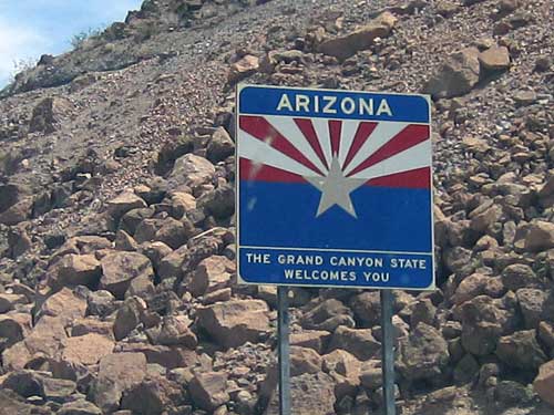
Crossing the state line
It was very crowded but we managed to squeeze into a (mostly legal) spot in Parking Area 12. It gave us a lovely view of the dam and Lake Mead.
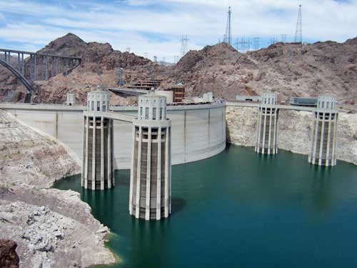
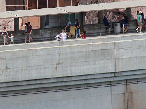
People on the dam for scale
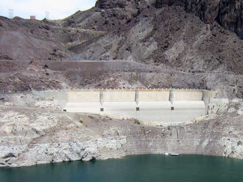
The Nevada spillway
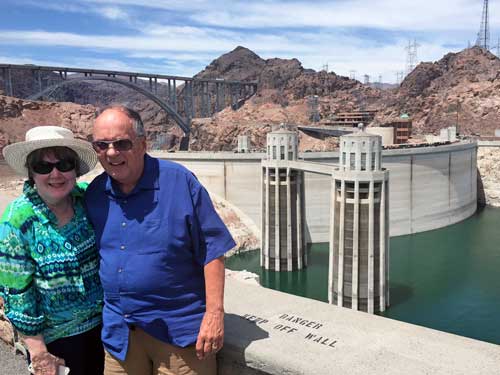
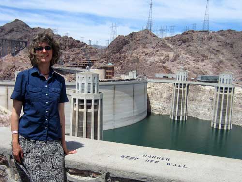
The obligatory poses
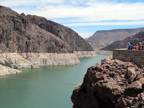
The 'line' on the cliff indicates where water levels normally used to be (before the 15+ year drought). The white 'bathtub ring' is formed from mineral deposits left after the water receded.
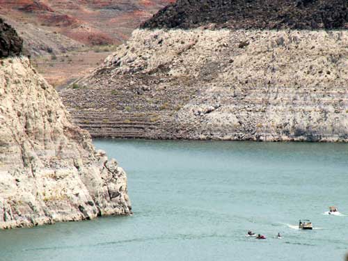
Boaters still enjoy the water that is left.
Instead of battling traffic up to the other viewpoints, we headed back down to the Arizona spillway parking lot. Since it had a steep fee to use, it was mostly empty... but since we had the handicapped tag, they again didn't charge us.
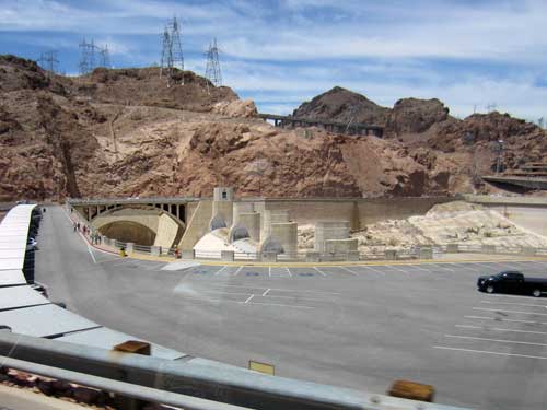
The parking lot with the spillway behind it
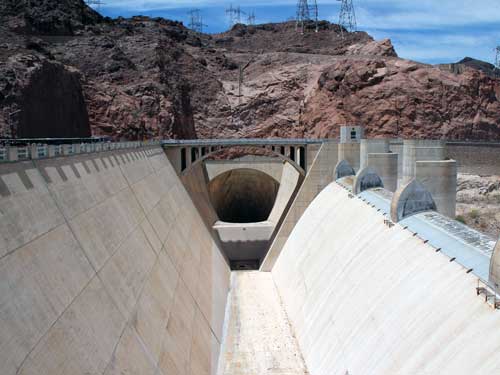
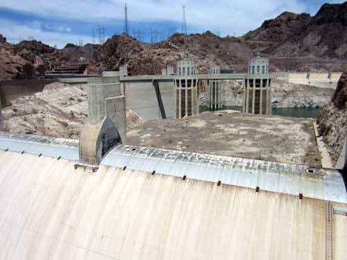
The spillways have only been used twice... once in 1941 for initial testing and again in 1983 for a flood.
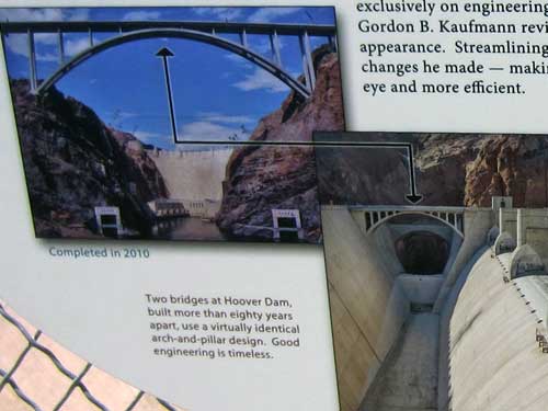
Very clever!
We drove back over the dam and headed back out to Boulder City.
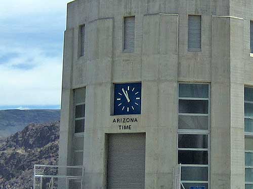
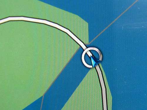
How often does a GPS get to show something this cool?!
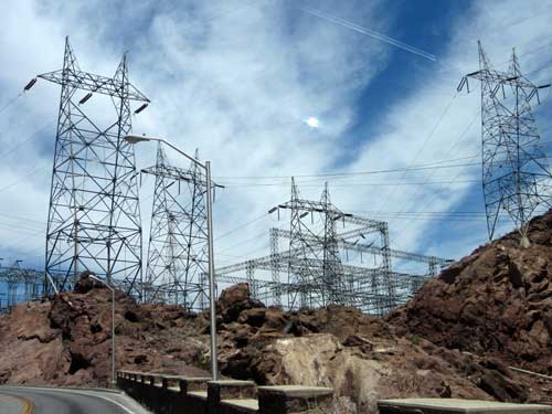
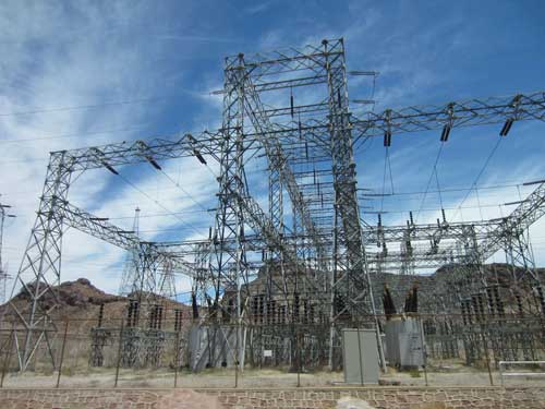
Powerlines cover the hills.
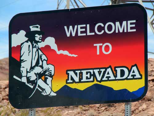
Back in Nevada...
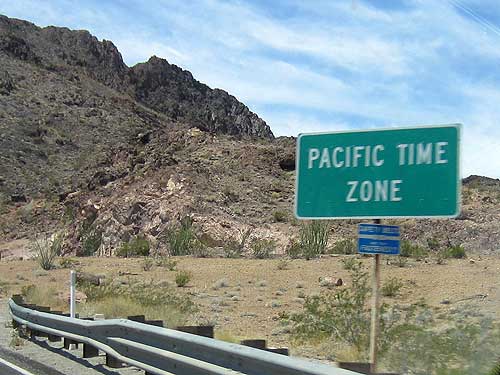
... and a different time zone.
Boulder City was actually built to house some 5,000 dam project workers. Before then, many men and their families seeking work during the Great Depression had to live in tent villages and squatters’ settlements.
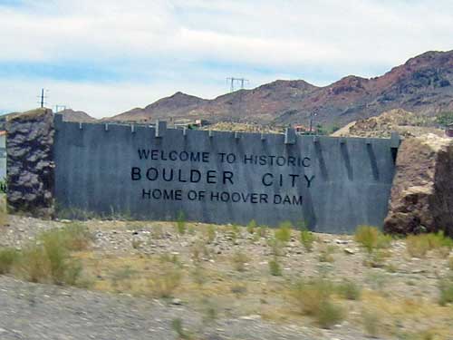
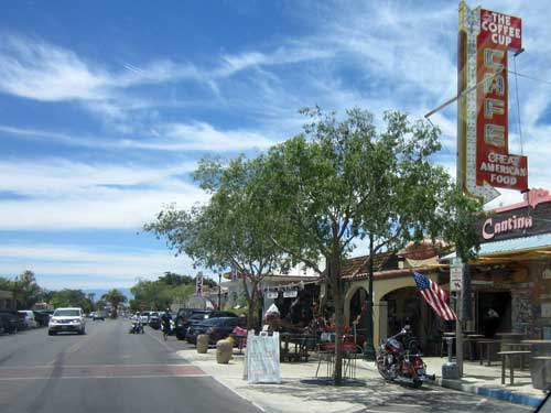
A charming town
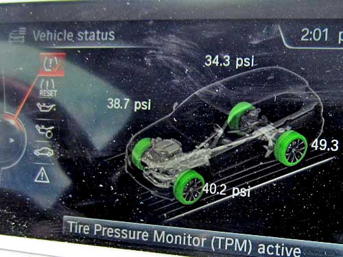
For quite a while, we had been receiving alerts from the car sensor systems saying we had an extremely low tire. So we stopped and I checked all the tire pressure, which seemed to be fine. But the warnings wouldn't stop (and the car's readings were not the same as the tire pressure gauge readings).
We called the rental car company and asked if we could have someone look at the tires to make sure they were ok. Nope. Our only options were 1) drive with it as it was and eventually return it back in Denver or 2) swap it out in Las Vegas or 3) have them come out to put on a spare if it went flat. Since we were going to be covering a LOT of miles (many of them through rather remote stretches), we felt options 1 and 3 weren't all that great. So we decided to return to Vegas, but only after swinging by a ghost town a bit south of here.
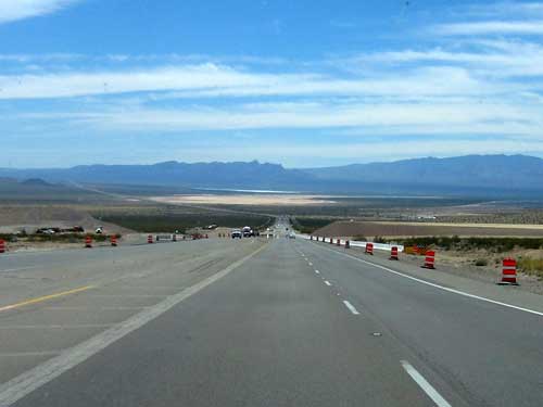
Heading out to the remote hills
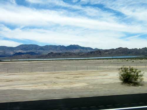
While this may look like a lake, it's actually an extensive solar panel array.
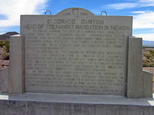
Eldorado Canyon runs from here to the Colorado River. This portion of the river was navigable before the construction of Hoover Dam. Steamboats and barges coming 350 miles up from the Gulf of California could deliver freight right to the mouth of the canyon. It was named in 1857 by steamboat Captain George Alonzo Johnson after all the gold and silver discovered in the area.
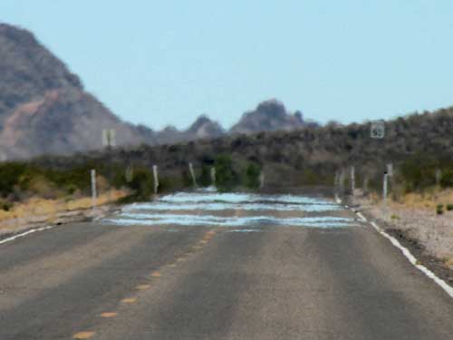
The heat of the day threw a mirage on the road.
A mirage (from the Latin word for mirror) is when light rays are bent to produce a displaced image of distant objects or the sky. What the image appears to represent, however, is determined by our minds. On paved roads it may look as if water has been spilled. This is a type of "inferior mirage" (which simply means that the mirage is located under the real object). When tarmac is exposed to the sun, it can get very hot... easily being more than 10°C hotter than the air just above it. This variation between the hot air at the surface of the road and the denser cool air above it is what causes the refraction of light rays. It shows us the sky, but we see a pool of water on the road.
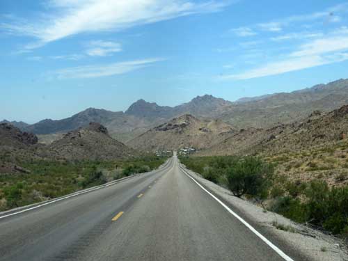
Approaching Nelson
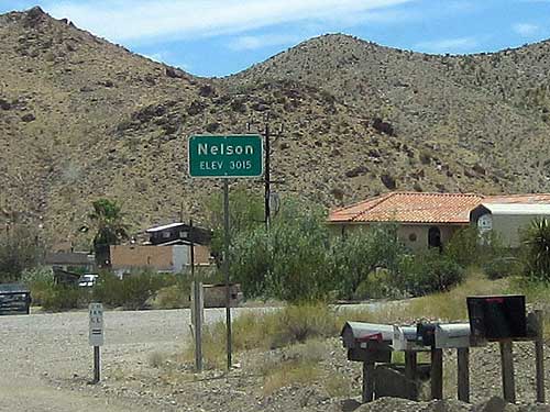
The tiny town of Nelson (population 37) sat in the upper reach of the canyon. It was named after Charles Nelson, a camp leader who was killed in his home in 1897 along with four other people by an Indian named Avote. Avote was promptly killed by his half brother, Queho. Apparently the custom was when an Indian went on a murderous rampage, the tribe was expected to produce a culprit or a corpse. The alternative was to face retaliation by the whites.
Queho, however, also became a renegade, killing over 20 people. His last victim was Maude Douglas, shot at close range with a shotgun in 1919, although other reports suggest it was actually her husband. That didn't really matter though... Queho basically got the blame for all murders during that time. Queho managed to elude all attempts to catch him for the next 20 years. In 1940, a cave was discovered about 12 miles from here. In it were his mummified remains. He'd been dead about 6 months, bitten by a rattlesnake. He was identified by his bones (he'd had a broken leg which gave him a limp and also double rows of teeth) and artifacts in the cave belonging to his victims. He even had dynamite and other supplies stolen from the Hoover Dam site.
About a mile further down the road was what we really came to see... the old Techatticup Mine.
In 1859, the canyon was the site of one of the first major gold strikes in Nevada and one of the biggest mining booms in state history. Prospectors rushed to the canyon in 1861 and several mining camps were founded, including Techatticup (from the Paiute words for hungry and bread, as many Paiutes in the surrounding barren hills were reported to have frequented the mining camps begging for food). It was a rough and lawless area with frequent disputes that usually ended in wanton killings. The mines in the canyon continued to produce ore until World War II.
The current owners, Tony & Bobbie Werley, bought the area a couple decades ago after it had sat abandoned for 50 years. They went through the effort of retrieving many of the old original buildings that had been moved up into the back canyons by old prospectors in the 1940's and 50's.
Normally they charge $10 an hour to walk around and take photos, but since it was far too hot for Bill and Joanne (they kept to the sanctuary of the air-conditioned car) and I only planned to wander for about 15 minutes, they kindly didn't charge us.

